UN/LOCODE hub · South Africa
ZAZDI

Lyndhurst

-26.1333°, 28.1167°
1
Transport functions

Transport Functions

Multimodal
UN/LOCODE

Hub Profile

Place type
Urban district
GeoNames
Region
Gauteng
GeoNames
Time zone
Africa/Johannesburg
GeoNames
Elevation
1,561 m
GeoNames

Location

Location of ZAZDI
Natural Earth 10m (public domain) · Gauteng · ZAZDI · -26.13, 28.12GoogleOSMYandex

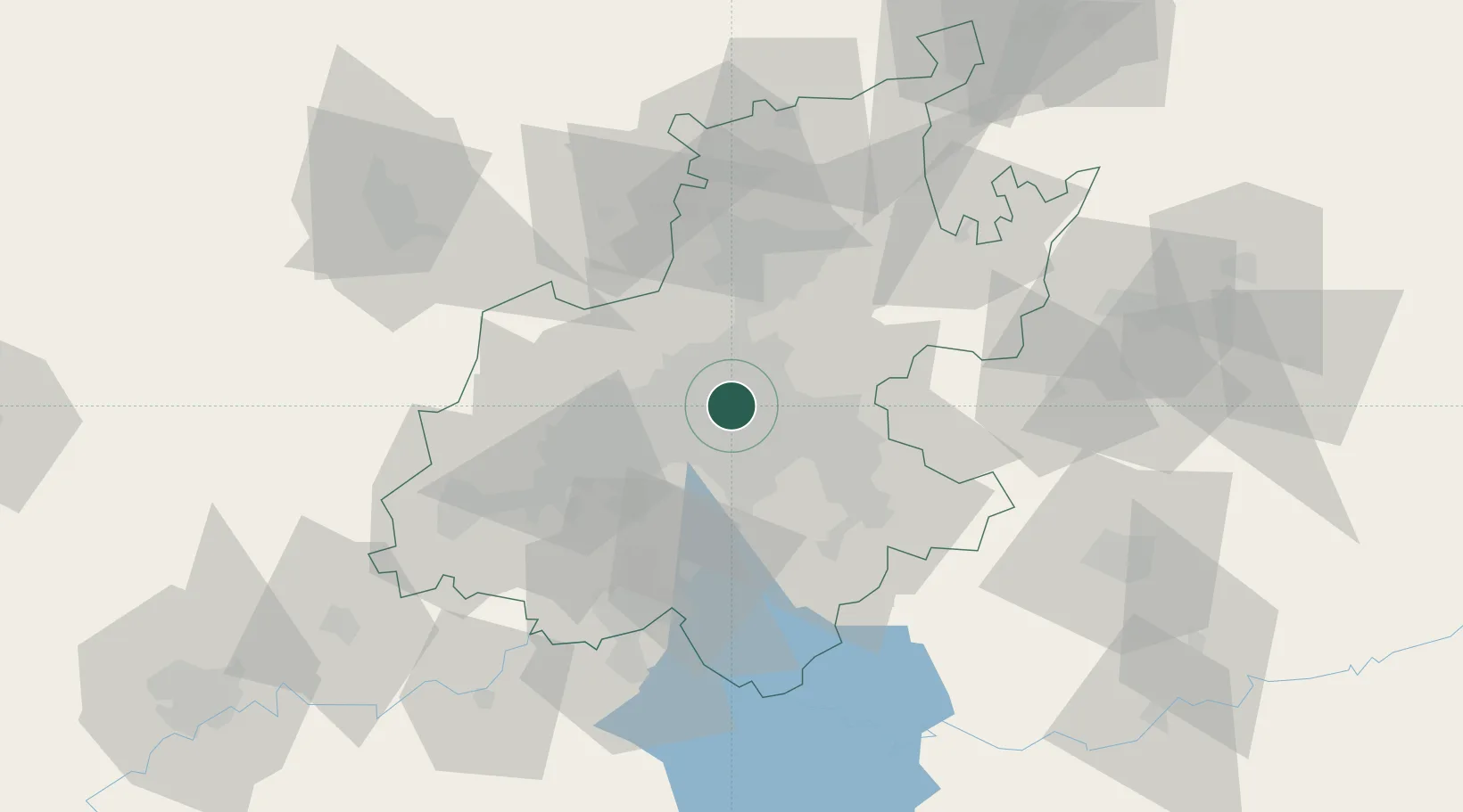
Nearby Logistics Neighbours

Cities
  1. 1Rosherville4 km
  2. 2Bedfordview5 km
  3. 3Orange Grove5 km
  4. 4Modderfontein5 km
  5. 5Benrose6 km
Nearest neighbours — logibook spatial index (haversine) over the source coordinates
Ports
  1. 1Maputo443 km
  2. 2Richards Bay493 km
  3. 3Durban506 km
  4. 4East London768 km
  5. 5Inhambane774 km
Nearest neighbours — logibook spatial index (haversine) over the source coordinates
Airports
  1. 1Rand Airport13 km
  2. 2O.R. Tambo International Airport13 km
  3. 3Grand Central Airport17 km
  4. 4Lanseria International Airport29 km
  5. 5Waterkloof Air Force Base35 km
Nearest neighbours — logibook spatial index (haversine) over the source coordinates
Trade Zones
  1. 1OR Tambo Industrial Development Zone15 km
  2. 2Tshwane Automotive Industrial Zone50 km
  3. 3Vaal Special Economic Zone70 km
  4. 4Babelegi Industrial Park88 km
  5. 5Bojanala (Platinum Valley) Special Economic Zone128 km
Nearest neighbours — logibook spatial index (haversine) over the source coordinates
DatabookThe Record of Consolidated Knowledge
South Africa beyond logistics?
Browse databook

All Sources

LocationsUN/LOCODE
UN/LOCODE — free
Portsthe NGA World Port Index
Public domain (US gov)
AirportsOurAirports
Public domain
Trade Zonesthe World Bank SEZ database
CC BY 4.0
Trade ZonesOpen Zone Map
CC BY
← South Africa locations