Transport Functions
Multimodal
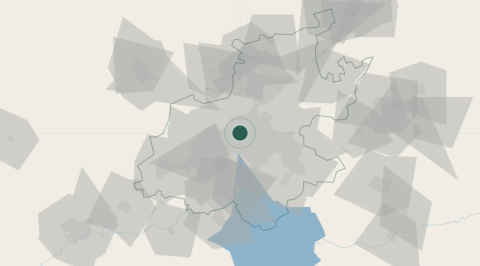
Hub Profile
Place type
Urban district
Region
Gauteng
Time zone
Africa/Johannesburg
Elevation
1,569 m
Location
Nearby Logistics Neighbours
Cities
- 1Craighall Park2 km
- 2Sandhurst3 km
- 3Saxonwold5 km
- 4Parktown6 km
- 5Northcliff7 km
Ports
- 1Maputo453 km
- 2Richards Bay502 km
- 3Durban513 km
- 4East London769 km
- 5Inhambane783 km
Airports
- 1Grand Central Airport19 km
- 2Rand Airport19 km
- 3Lanseria International Airport22 km
- 4O.R. Tambo International Airport23 km
- 5Swartkop Air Force Base37 km
Trade Zones
DatabookThe Record of Consolidated Knowledge
South Africa beyond logistics?