Transport Functions
Multimodal
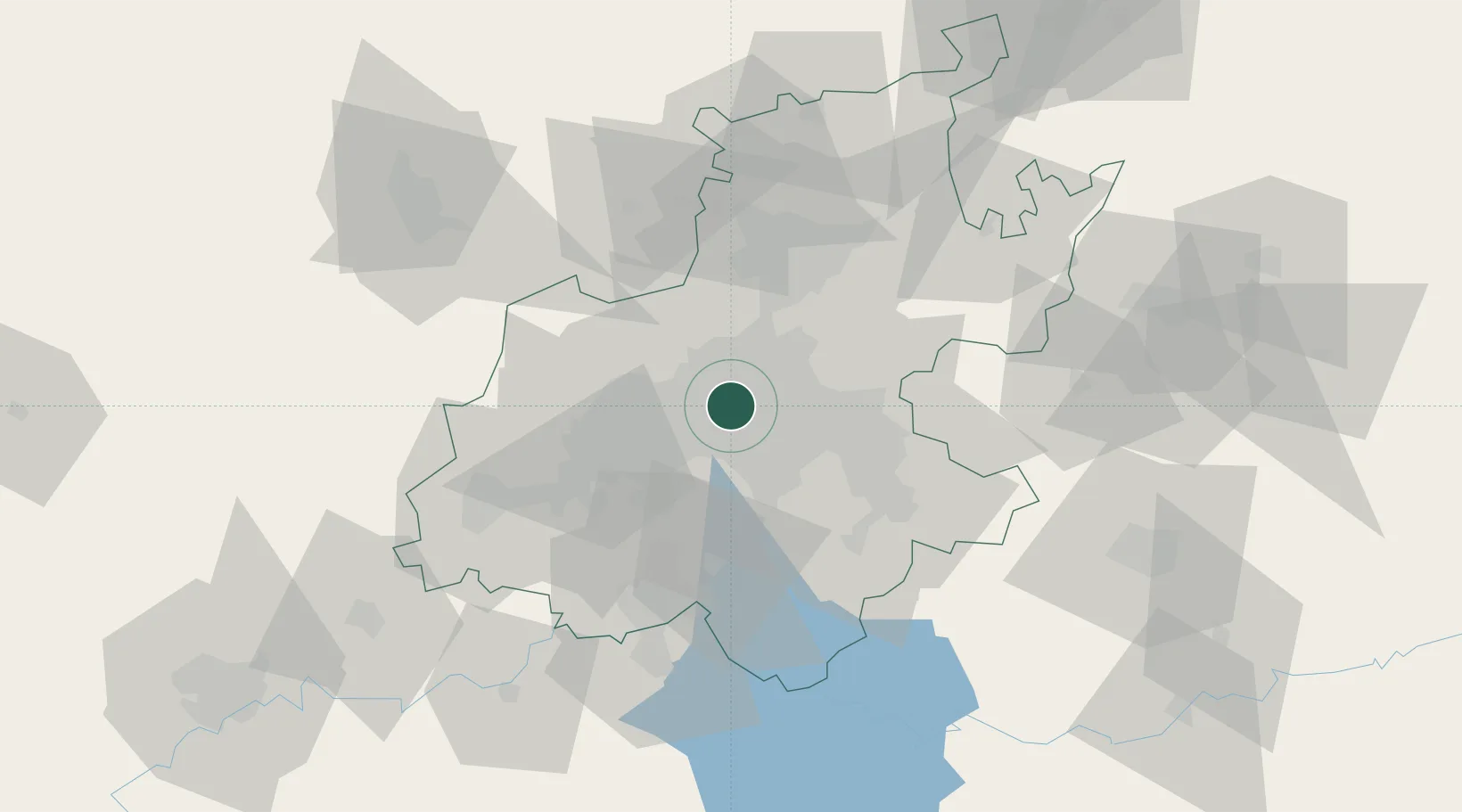
Hub Profile
Place type
Populated place
Region
Gauteng
Time zone
Africa/Johannesburg
Elevation
1,676 m
Location
Nearby Logistics Neighbours
Cities
- 1Braamfontein3 km
- 2Parktown3 km
- 3Sandhurst4 km
- 4Orange Grove4 km
- 5Craighall Park4 km
Ports
- 1Maputo450 km
- 2Richards Bay497 km
- 3Durban508 km
- 4East London766 km
- 5Inhambane781 km
Airports
- 1Rand Airport14 km
- 2O.R. Tambo International Airport20 km
- 3Grand Central Airport20 km
- 4Lanseria International Airport27 km
- 5Swartkop Air Force Base40 km
Trade Zones
DatabookThe Record of Consolidated Knowledge
South Africa beyond logistics?