Transport Functions
Port
Hub Profile
Place type
Regional capital
Region
Nukunonu
Population
531
Time zone
Pacific/Fakaofo
Elevation
10 m
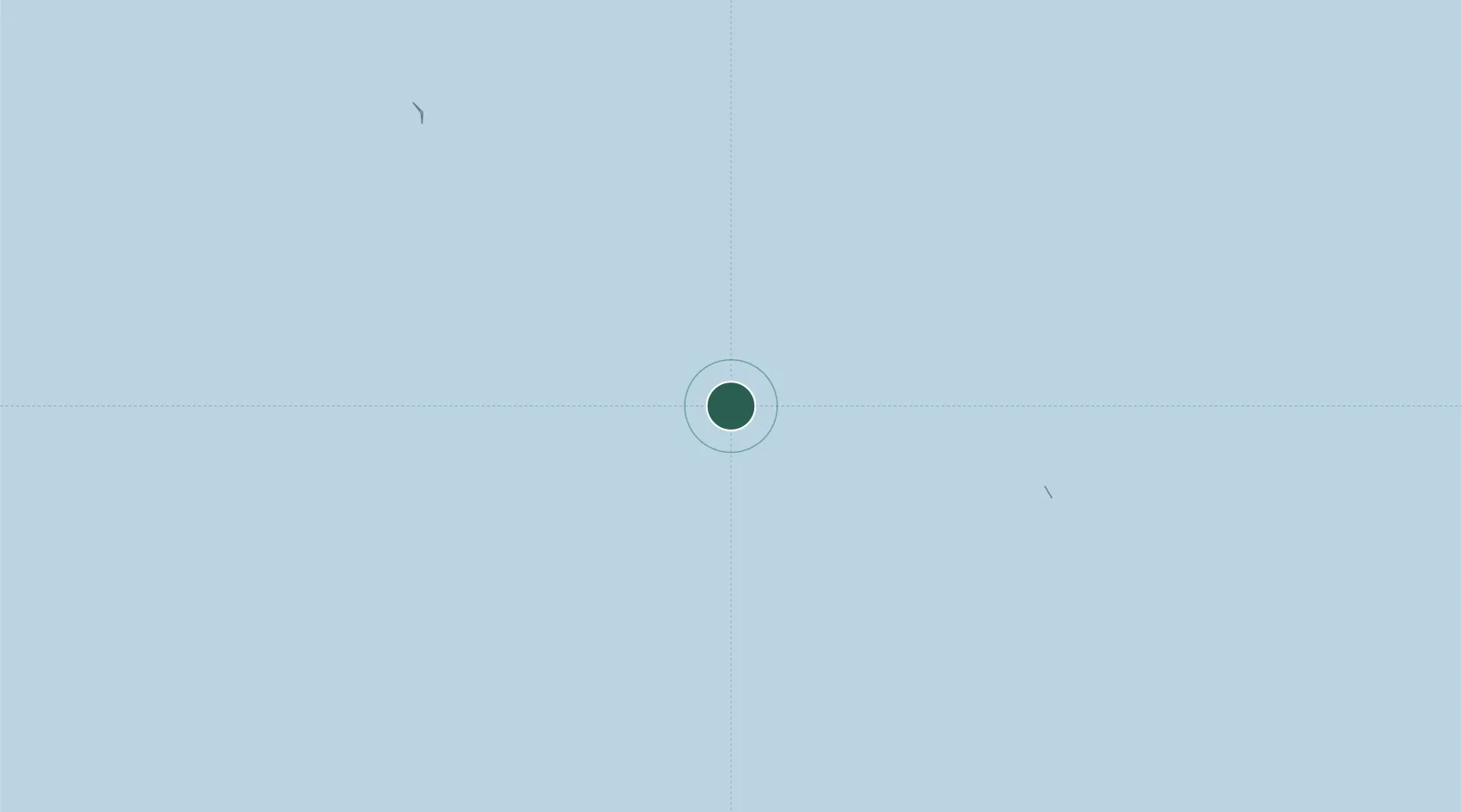
Location
Nearby Logistics Neighbours
Cities
- 1Fakaofo70 km
- 2Atafu102 km
- 3Hull Island518 km
- 4Sydney Island527 km
- 5Nikumaroro579 km
Ports
- 1Apia517 km
- 2Pago Pago Harbor583 km
- 3Mata-Utu654 km
- 4Canton Island704 km
- 5Neiafu1079 km
Airports
- 1Faleolo International Airport519 km
- 2Pago Pago International Airport588 km
- 3Ofu Airport606 km
- 4Fitiuta Airport621 km
- 5Hihifo Airport656 km
Trade Zones
- 1FTZ No. 009 Honolulu3716 km
- 2FTZ No. 003 San Francisco7320 km
- 3FTZ No. 018 San Jose7328 km
- 4FTZ No. 056 Oakland7329 km
- 5FTZ No. 205 Port Hueneme7342 km
DatabookThe Record of Consolidated Knowledge
Tokelau beyond logistics?