Seaport · American Samoa

Pago Pago HarborASPPG

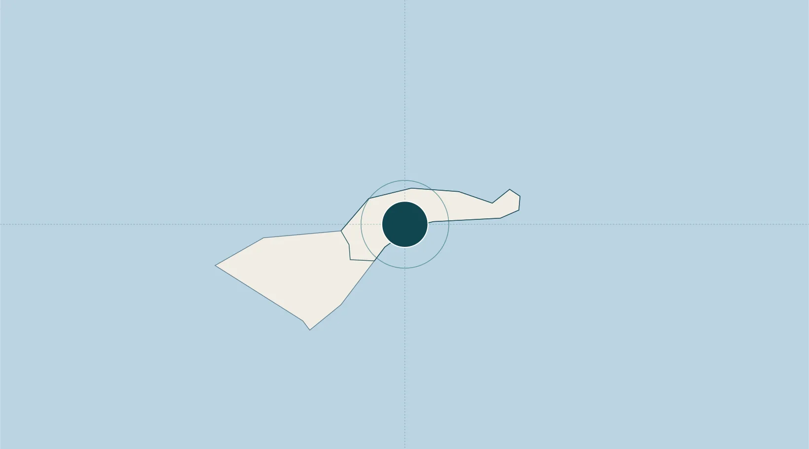
-14.2833°, -170.6667°
23.2 m
Channel depth
1
Container terminals
52.1
Port liner connectivity
Pago Pago Harbor is also a UN/LOCODE logistics hub →

Channel & Berth Profile

SEA LEVEL (CD)CHANNEL BEDAnchorage · 11.0 mOil terminal · 11.0 mCargo pier · 15.5 mChannel · 23.2 m
NGA World Port Index

Pilotage, Tugs & Services

Pilotage compulsoryYES
Pilotage availableYES
Pilotage advisableYES
Tug assistanceYES
Potable waterYES
Diesel bunkersYES
Garbage disposalYES
NGA World Port Index

Facilities & Capabilities

Container
Ro-Ro
Liquid bulk
Dry bulk
Oil terminal
Break bulk
Dry dock
RepairsNO
BunkeringYES
Rail link
Dangerous cargo
ISPS security
NGA World Port Index

Harbour Specifications

Harbour size
Small
NGA World Port Index
Harbour type
Coastal (Natural)
NGA World Port Index
Shelter
Good
NGA World Port Index
Water body
South Pacific Ocean
NGA World Port Index
Tidal range
3 m
NGA World Port Index
Overhead limit
No
NGA World Port Index
Pilotage
Yes
NGA World Port Index

Liner Connectivity

52.1
PLSCI

Port Liner Shipping Connectivity Index for Pago Pago Harbor, as published by UNCTAD for the latest available quarter. Higher values indicate stronger scheduled liner-shipping integration.

Shown relative to the highest per-port PLSCI in the dataset (1,657.9).

UNCTAD · Port Liner Shipping Connectivity Index

Location

Location of ASPPG
Natural Earth 10m (public domain) · Eastern · ASPPG · -14.28, -170.67GoogleOSMYandex

Container Terminals · 1

PORT OF PAGO-PAGO
PAGO PORT OF PAGO PAGO
SMDG Terminal Code List

Nearby Logistics Neighbours

Ports
  1. 1Apia130 km
  2. 2Alofi534 km
  3. 3Neiafu601 km
  4. 4Mata-Utu601 km
  5. 5Pangai728 km
Nearest neighbours — logibook spatial index (haversine) over the source coordinates
Cities
  1. 1Alofi536 km
  2. 2Fakaofo550 km
  3. 3Nukunonu583 km
  4. 4Matâ'utu606 km
  5. 5Halalo609 km
Nearest neighbours — logibook spatial index (haversine) over the source coordinates
Airports
  1. 1Pago Pago International Airport7 km
  2. 2Ofu Airport108 km
  3. 3Fitiuta Airport134 km
  4. 4Faleolo International Airport153 km
  5. 5Kuini Lavenia Airport385 km
Nearest neighbours — logibook spatial index (haversine) over the source coordinates
Trade Zones
  1. 1FTZ No. 009 Honolulu4196 km
  2. 2FTZ No. 205 Port Hueneme7654 km
  3. 3FTZ No. 003 San Francisco7672 km
  4. 4FTZ No. 018 San Jose7675 km
  5. 5FTZ No. 056 Oakland7681 km
Nearest neighbours — logibook spatial index (haversine) over the source coordinates
DatabookThe Record of Consolidated Knowledge
American Samoa beyond logistics?
Browse databook

All Sources

Portsthe NGA World Port Index
Public domain (US gov)
Logistics performanceUNCTAD
CC BY 3.0 IGO
Portsthe SMDG Terminal Code List
UN/LOCODE — free, attribution
AirportsOurAirports
Public domain
LocationsUN/LOCODE
UN/LOCODE — free
Trade Zonesthe World Bank SEZ database
CC BY 4.0
Trade ZonesOpen Zone Map
CC BY
← American Samoa ports