Export Processing Zone · Cambodia

Kampot Special Economic Zone Under Development
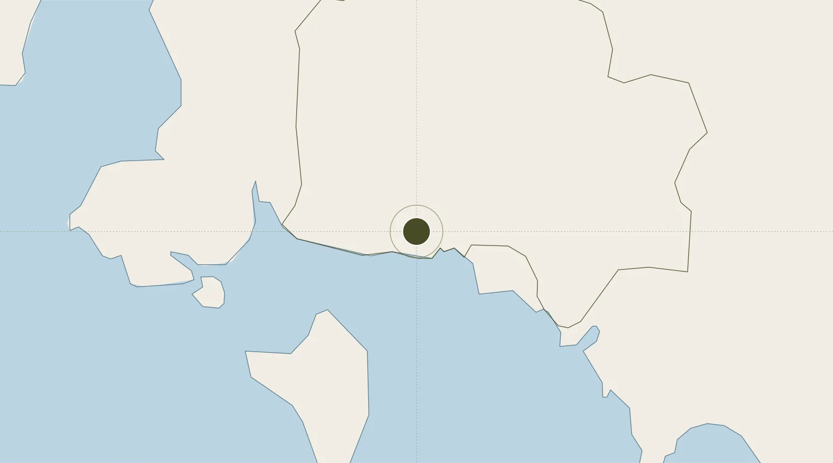
10.6020°, 104.1770°
145 ha
Zone area
48.6 km
Nearest port
52.1 km
Nearest airport

Gateway access

Nearest neighbours — logibook spatial index (haversine) over the source coordinates

Zone profile

Zone type
Export Processing Zone
Open Zone Map
Region
Kâmpôt
Open Zone Map
Status
Under Development
Open Zone Map
Management
Private
Open Zone Map
Operator
Kampot SEZ Co., Ltd.
Open Zone Map
Legal framework
Sub Decre No 03 dated 09 January 2007
Open Zone Map

Location

Location of ozm-274
Natural Earth 10m (public domain) · Kâmpôt · ozm-274 · 10.60, 104.18GoogleOSMYandex

Nearby Logistics Neighbours

Ports
  1. 1Duong Dong49 km
  2. 2Kampong Saom74 km
  3. 3Thanh Ho Chi Minh278 km
  4. 4Thanh Hoa284 km
  5. 5Cat Lai285 km
Nearest neighbours — logibook spatial index (haversine) over the source coordinates
Airports
  1. 1Phú Quốc International Airport52 km
  2. 2Sihanouk International Airport60 km
  3. 3Dara Sakor International Airport110 km
  4. 4Techo International Airport117 km
  5. 5Rach Gia Airport127 km
Nearest neighbours — logibook spatial index (haversine) over the source coordinates
Cities
  1. 1Phu Quoc49 km
  2. 2Kâmpóng Saôm70 km
  3. 3Binh Long Port117 km
  4. 4Phnom Penh127 km
  5. 5Ta Khmau129 km
Nearest neighbours — logibook spatial index (haversine) over the source coordinates
Trade Zones
  1. 1Ha Tien Border-Gate Economic Zone37 km
  2. 2Cambodian Zhejiang Guoji Special Economic Zone45 km
  3. 3Phú Quốc Special Economic Zone47 km
  4. 4Oknha Mong Special Economic Zone61 km
  5. 5Stung Hav Special Economic Zone64 km
Nearest neighbours — logibook spatial index (haversine) over the source coordinates
DatabookThe Record of Consolidated Knowledge
Cambodia beyond logistics?
Browse databook

All Sources

Trade ZonesOpen Zone Map
CC BY
Portsthe NGA World Port Index
Public domain (US gov)
AirportsOurAirports
Public domain
LocationsUN/LOCODE
UN/LOCODE — free
← Cambodia trade zones