UN/LOCODE hub · Cambodia
KHPNH
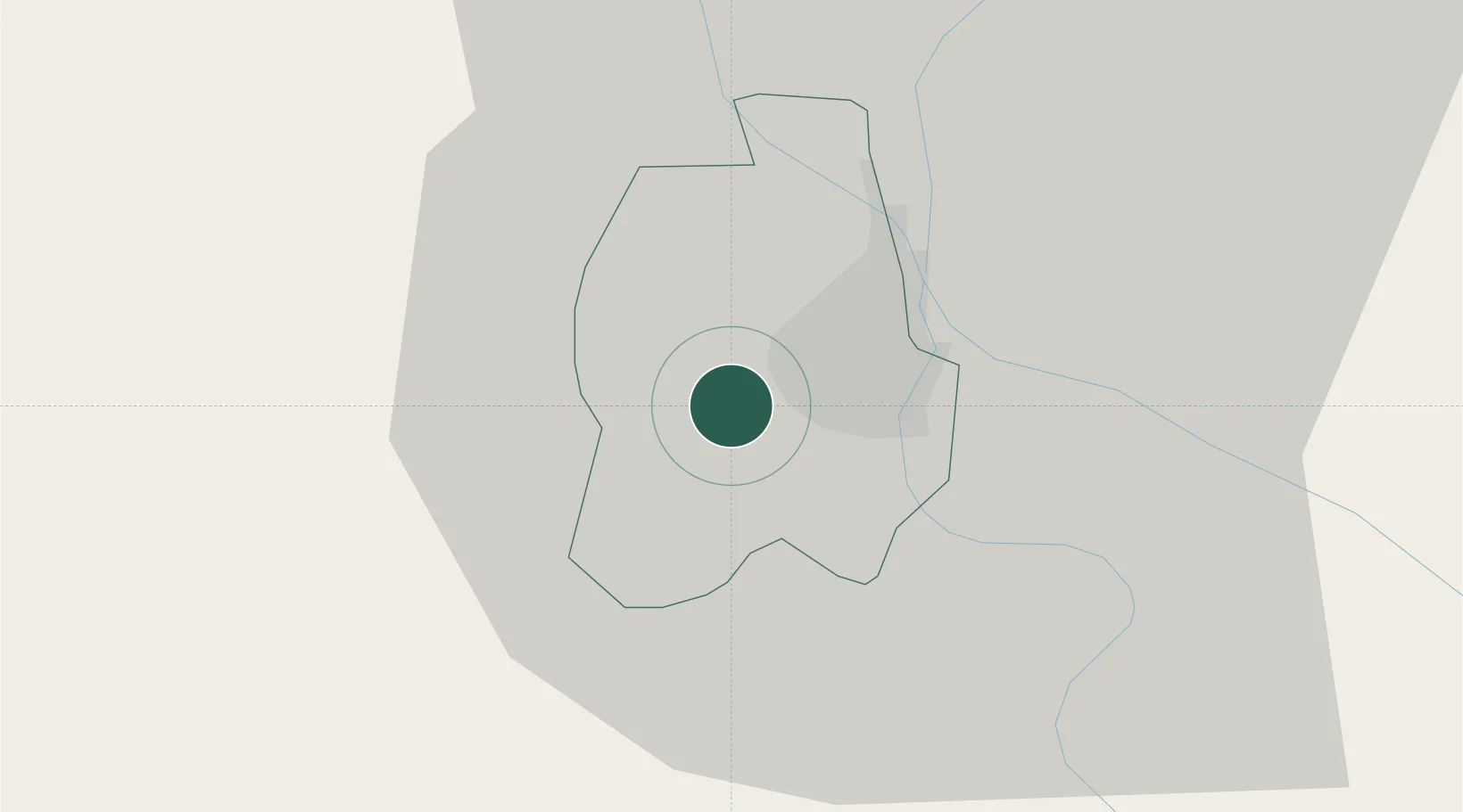
Phnom Penh
11.5315°, 104.8589°
1,573,544
Population
3
Transport functions
1
Container terminals
Transport Functions
Port
Airport
Postal
Hub Profile
Place type
National capital
Region
Phnom Penh
Population
1,573,544
Time zone
Asia/Phnom_Penh
Elevation
20 m
Logistics facilities
35
Container terminals
1
Location
Nearby Logistics Neighbours
Cities
- 1Ta Khmau11 km
- 2Kâmpóng Cham83 km
- 3Binh Long Port116 km
- 4Tay Ninh138 km
- 5Dong Thap140 km
Ports
- 1Duong Dong176 km
- 2Kampong Saom179 km
- 3Thanh Ho Chi Minh220 km
- 4Thanh Hoa223 km
- 5Cat Lai227 km
Airports
DatabookThe Record of Consolidated Knowledge
Cambodia beyond logistics?