UN/LOCODE hub · Vietnam
VNBLG

Binh Long Port

10.5667°, 105.2500°
1
Transport functions

Transport Functions

Port
UN/LOCODE

Hub Profile

Region
44
GeoNames

Location

Location of VNBLG
Natural Earth 10m (public domain) · 44 · VNBLG · 10.57, 105.25GoogleOSMYandex

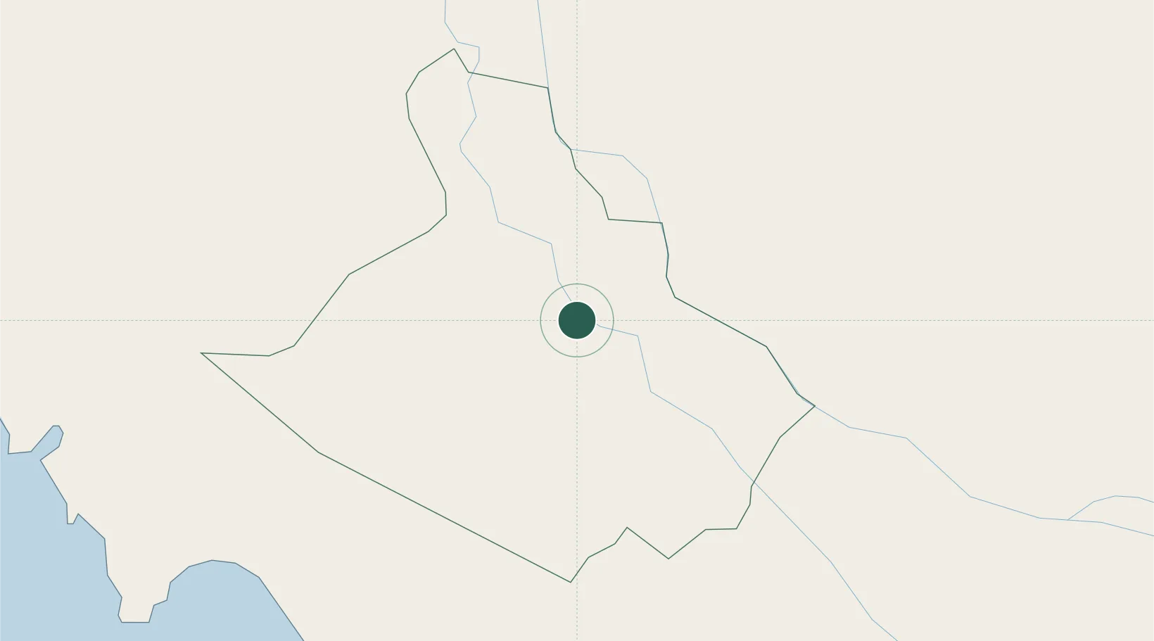
Nearby Logistics Neighbours

Cities
  1. 1Dong Thap36 km
  2. 2Sa Déc64 km
  3. 3Binh Minh67 km
  4. 4Tra Noc72 km
  5. 5Vinh Long87 km
Nearest neighbours — logibook spatial index (haversine) over the source coordinates
Ports
  1. 1Duong Dong146 km
  2. 2Thanh Ho Chi Minh162 km
  3. 3Thanh Hoa168 km
  4. 4Cat Lai169 km
  5. 5Kampong Saom191 km
Nearest neighbours — logibook spatial index (haversine) over the source coordinates
Airports
  1. 1Rach Gia Airport69 km
  2. 2Can Tho International Airport74 km
  3. 3Techo International Airport95 km
  4. 4Phnom Penh International Airport118 km
  5. 5Phú Quốc International Airport144 km
Nearest neighbours — logibook spatial index (haversine) over the source coordinates
Trade Zones
  1. 1Doung Chhiv Phnom Den Special Economic Zone41 km
  2. 2Sa Dec Industrial Zone61 km
  3. 3Tra Noc 2 Industrial Zone70 km
  4. 4Tra Noc 1 Industrial Zone72 km
  5. 5An Phú Industrial Zone78 km
Nearest neighbours — logibook spatial index (haversine) over the source coordinates
DatabookThe Record of Consolidated Knowledge
Vietnam beyond logistics?
Browse databook

All Sources

LocationsUN/LOCODE
UN/LOCODE — free
Portsthe NGA World Port Index
Public domain (US gov)
AirportsOurAirports
Public domain
Trade Zonesthe World Bank SEZ database
CC BY 4.0
Trade ZonesOpen Zone Map
CC BY
← Vietnam locations