Transport Functions
Port
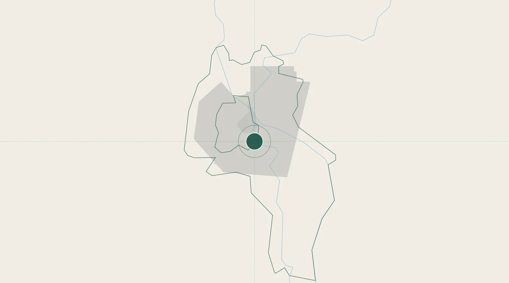
Hub Profile
Place type
Regional capital
Region
Kandal
Population
52,066
Time zone
Asia/Phnom_Penh
Elevation
7 m
Location
Nearby Logistics Neighbours
Cities
- 1Phnom Penh11 km
- 2Kâmpóng Cham79 km
- 3Binh Long Port107 km
- 4Tay Ninh127 km
- 5Dong Thap130 km
Ports
- 1Duong Dong177 km
- 2Kampong Saom184 km
- 3Thanh Ho Chi Minh209 km
- 4Thanh Hoa212 km
- 5Cat Lai216 km
Airports
DatabookThe Record of Consolidated Knowledge
Cambodia beyond logistics?