Transport Functions
Rail
Road
Multimodal
Hub Profile
Region
LM
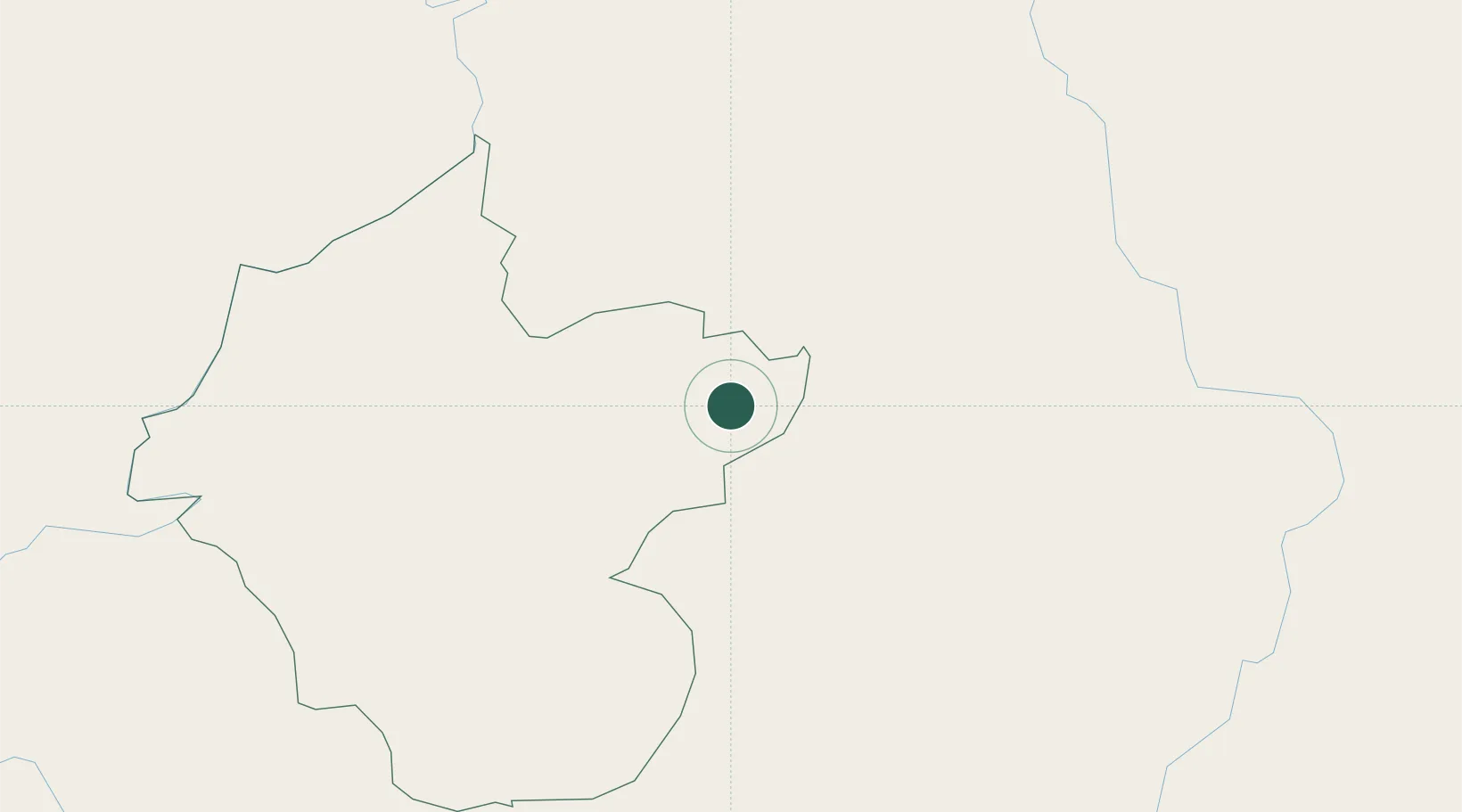
Location
Nearby Logistics Neighbours
Cities
- 1Boten13 km
- 2Oudomxay56 km
- 3Jinghong138 km
- 4Luang Prabang143 km
- 5B12 Oil Terminal148 km
Ports
- 1Nghe Tinh501 km
- 2Hai Phong525 km
- 3Hon Gai564 km
- 4Cam Pha595 km
- 5Fang-Cheng700 km
Airports
- 1Luang Namtha Airport26 km
- 2Oudomsay Airport55 km
- 3Xishuangbanna Gasa International Airport137 km
- 4Luang Phabang International Airport139 km
- 5Dien Bien Phu Airport148 km
DatabookThe Record of Consolidated Knowledge
Laos beyond logistics?