UN/LOCODE hub · Laos
LABTN

Boten

21.1667°, 101.6667°
2
Transport functions

Transport Functions

Rail
Road
UN/LOCODE

Hub Profile

Region
LM
GeoNames

Location

Location of LABTN
Natural Earth 10m (public domain) · LM · LABTN · 21.17, 101.67GoogleOSMYandex

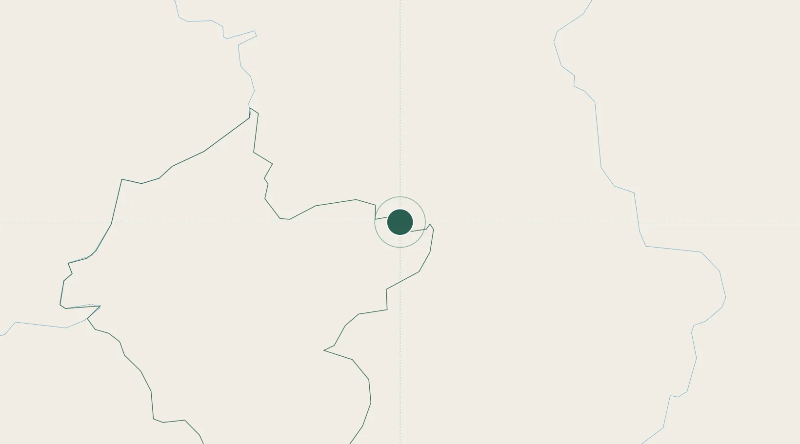
Nearby Logistics Neighbours

Cities
  1. 1Nateuy13 km
  2. 2Oudomxay65 km
  3. 3Jinghong130 km
  4. 4B12 Oil Terminal146 km
  5. 5Jiangcheng Mengkang146 km
Nearest neighbours — logibook spatial index (haversine) over the source coordinates
Ports
  1. 1Nghe Tinh505 km
  2. 2Hai Phong521 km
  3. 3Hon Gai561 km
  4. 4Cam Pha592 km
  5. 5Fang-Cheng695 km
Nearest neighbours — logibook spatial index (haversine) over the source coordinates
Airports
  1. 1Luang Namtha Airport36 km
  2. 2Oudomsay Airport64 km
  3. 3Xishuangbanna Gasa International Airport130 km
  4. 4Dien Bien Phu Airport141 km
  5. 5Luang Phabang International Airport150 km
Nearest neighbours — logibook spatial index (haversine) over the source coordinates
Trade Zones
  1. 1Boten Beautiful Land Specific Economic Zone2 km
  2. 2Boten Special Economic Zone3 km
  3. 3Densavanh Border Trade Commercial Zone62 km
  4. 4Golden Triangle Special Economic Zone188 km
  5. 5Ma Lu Thang Border Gate Economic Zone223 km
Nearest neighbours — logibook spatial index (haversine) over the source coordinates
DatabookThe Record of Consolidated Knowledge
Laos beyond logistics?
Browse databook

All Sources

LocationsUN/LOCODE
UN/LOCODE — free
Portsthe NGA World Port Index
Public domain (US gov)
AirportsOurAirports
Public domain
Trade Zonesthe World Bank SEZ database
CC BY 4.0
Trade ZonesOpen Zone Map
CC BY
← Laos locations