Diversified Zone · Laos

Boten Special Economic Zone Under Development
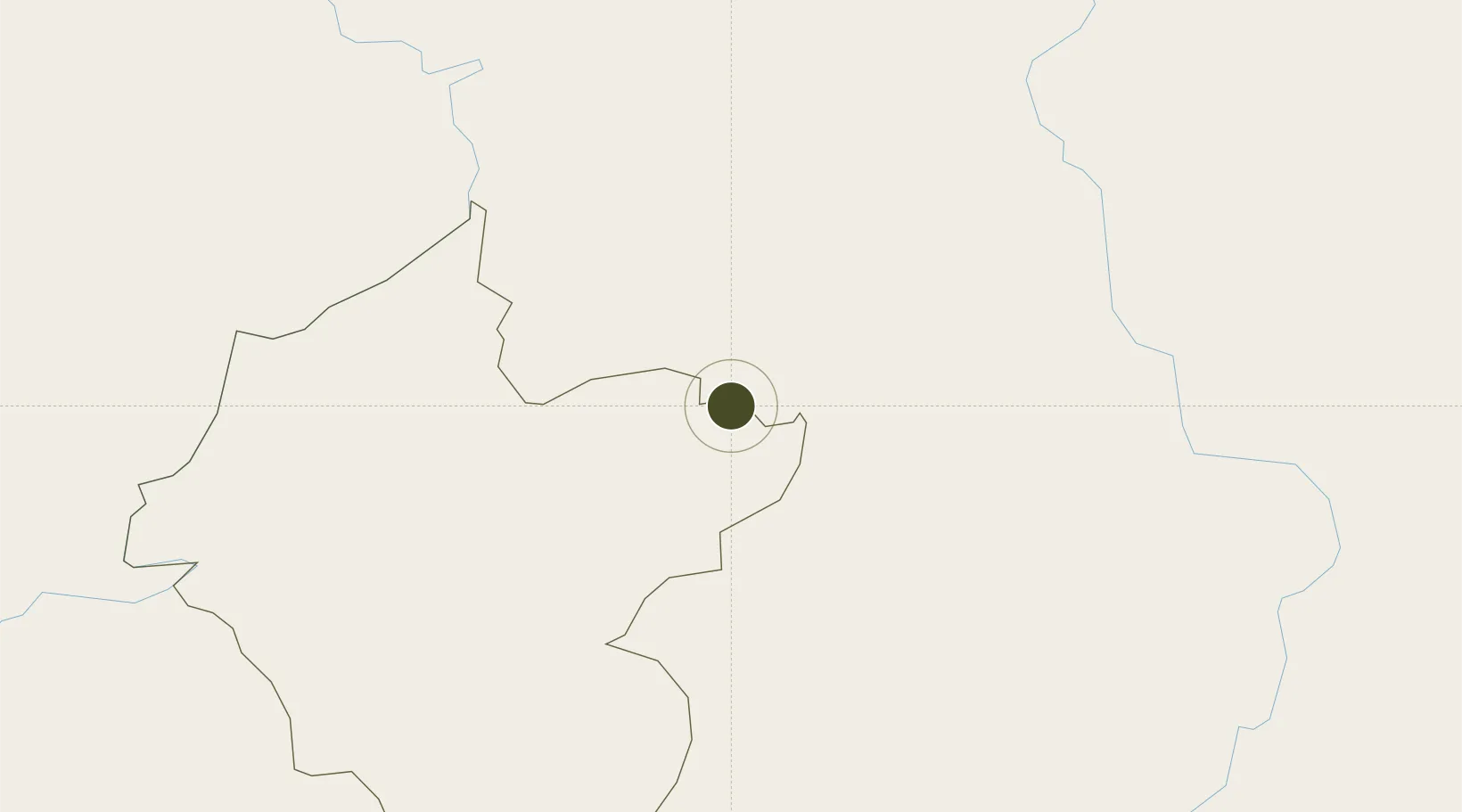
21.1730°, 101.6408°
700 ha
Zone area
507.4 km
Nearest port
33.9 km
Nearest airport

Gateway access

Nearest neighbours — logibook spatial index (haversine) over the source coordinates

Zone profile

Zone type
Diversified Zone
Open Zone Map
Region
Louang Namtha
Open Zone Map
Status
Under Development
Open Zone Map
Management
Private
Open Zone Map
Operator
Economic Executive Board of Boten SEZ(China)
Open Zone Map
Legal framework
Prime Minister’s Decree No. 443 on Special Economic Zone dated 26/10/2010
Open Zone Map

Location

Location of ozm-2688
Natural Earth 10m (public domain) · Louang Namtha · ozm-2688 · 21.17, 101.64GoogleOSMYandex

Nearby Logistics Neighbours

Ports
  1. 1Nghe Tinh507 km
  2. 2Hai Phong524 km
  3. 3Hon Gai564 km
  4. 4Cam Pha594 km
  5. 5Fang-Cheng697 km
Nearest neighbours — logibook spatial index (haversine) over the source coordinates
Airports
  1. 1Luang Namtha Airport34 km
  2. 2Oudomsay Airport66 km
  3. 3Xishuangbanna Gasa International Airport127 km
  4. 4Dien Bien Phu Airport144 km
  5. 5Luang Phabang International Airport151 km
Nearest neighbours — logibook spatial index (haversine) over the source coordinates
Cities
  1. 1Boten3 km
  2. 2Nateuy14 km
  3. 3Oudomxay67 km
  4. 4Jinghong128 km
  5. 5Jiangcheng Mengkang146 km
Nearest neighbours — logibook spatial index (haversine) over the source coordinates
Trade Zones
  1. 1Boten Beautiful Land Specific Economic Zone3 km
  2. 2Densavanh Border Trade Commercial Zone64 km
  3. 3Golden Triangle Special Economic Zone186 km
  4. 4Ma Lu Thang Border Gate Economic Zone224 km
  5. 5Chiang Rai Special Economic Zone234 km
Nearest neighbours — logibook spatial index (haversine) over the source coordinates
DatabookThe Record of Consolidated Knowledge
Laos beyond logistics?
Browse databook

All Sources

Trade ZonesOpen Zone Map
CC BY
Portsthe NGA World Port Index
Public domain (US gov)
AirportsOurAirports
Public domain
LocationsUN/LOCODE
UN/LOCODE — free
← Laos trade zones