Large airport · Laos

Luang Phabang International AirportVLLB
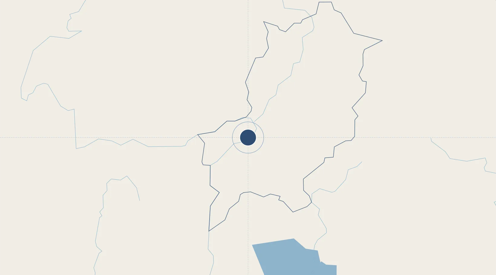
19.9043°, 102.1672°
8,202 ft
Longest runway
1
Runways
955 ft
Elevation

Runway & Layout

Luang Phabang International Airport runway & taxiway layout
Runway & taxiway layout — OpenStreetMap (ODbL) / OurAirports

Radio Frequencies

TWR
118.5 MHz
APP
118.5 MHz
OurAirports

Navaids

BK NDB Luang Phabang 390 kHz
LPB VOR-DME Luang Phabang 116.60 MHz
OurAirports

Runways · 1

RunwayDimensions SurfaceTrue headingLit
06/24 8,202 × 148ft Asphalt 061°
OurAirports

Airport Specifications

IATA code
LPQ
OurAirports
ICAO code
VLLB
OurAirports
Airport class
Large airport
OurAirports
Scheduled service
Yes
OurAirports
Runway surface
Asphalt
OurAirports
Served city
Luang Phabang
OurAirports

Location

Location of VLLB
Natural Earth 10m (public domain) · Louangphrabang · VLLB · 19.90, 102.17GoogleOSMYandex

Nearby Logistics Neighbours

Airports
  1. 1Oudomsay Airport88 km
  2. 2Xieng Khouang Airport115 km
  3. 3Luang Namtha Airport143 km
  4. 4Dien Bien Phu Airport188 km
  5. 5Nan Airport190 km
Nearest neighbours — logibook spatial index (haversine) over the source coordinates
Cities
  1. 1Luang Prabang4 km
  2. 2Oudomxay87 km
  3. 3Vangrieng113 km
  4. 4Nateuy139 km
  5. 5B12 Oil Terminal148 km
Nearest neighbours — logibook spatial index (haversine) over the source coordinates
Ports
  1. 1Nghe Tinh398 km
  2. 2Hai Phong484 km
  3. 3Hon Gai524 km
  4. 4Cam Pha556 km
  5. 5Fang-Cheng675 km
Nearest neighbours — logibook spatial index (haversine) over the source coordinates
Trade Zones
  1. 1Densavanh Border Trade Commercial Zone90 km
  2. 2Boten Special Economic Zone151 km
  3. 3Boten Beautiful Land Specific Economic Zone152 km
  4. 4Vientiane Industrial And Trade Area (Vita Park)216 km
  5. 5Saysetha Development Zone221 km
Nearest neighbours — logibook spatial index (haversine) over the source coordinates
DatabookThe Record of Consolidated Knowledge
Laos beyond logistics?
Browse databook

All Sources

AirportsOurAirports
Public domain
Portsthe NGA World Port Index
Public domain (US gov)
LocationsUN/LOCODE
UN/LOCODE — free
Trade Zonesthe World Bank SEZ database
CC BY 4.0
Trade ZonesOpen Zone Map
CC BY
InfrastructureOpenStreetMap
ODbL 1.0
← Laos airports