Transport Functions
Rail
Road
Airport
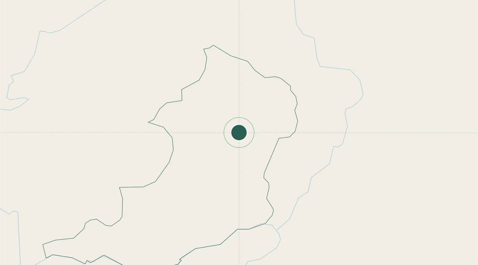
Location
Nearby Logistics Neighbours
Cities
- 1Nateuy56 km
- 2Boten65 km
- 3Luang Prabang90 km
- 4B12 Oil Terminal115 km
- 5Jinghong194 km
Ports
- 1Nghe Tinh449 km
- 2Hai Phong489 km
- 3Hon Gai529 km
- 4Cam Pha561 km
- 5Fang-Cheng671 km
Airports
- 1Oudomsay Airport2 km
- 2Luang Namtha Airport69 km
- 3Luang Phabang International Airport87 km
- 4Dien Bien Phu Airport134 km
- 5Xieng Khouang Airport183 km
Trade Zones
DatabookThe Record of Consolidated Knowledge
Laos beyond logistics?