Economic Zone · Vietnam
Ma Lu Thang Border Gate Economic Zone
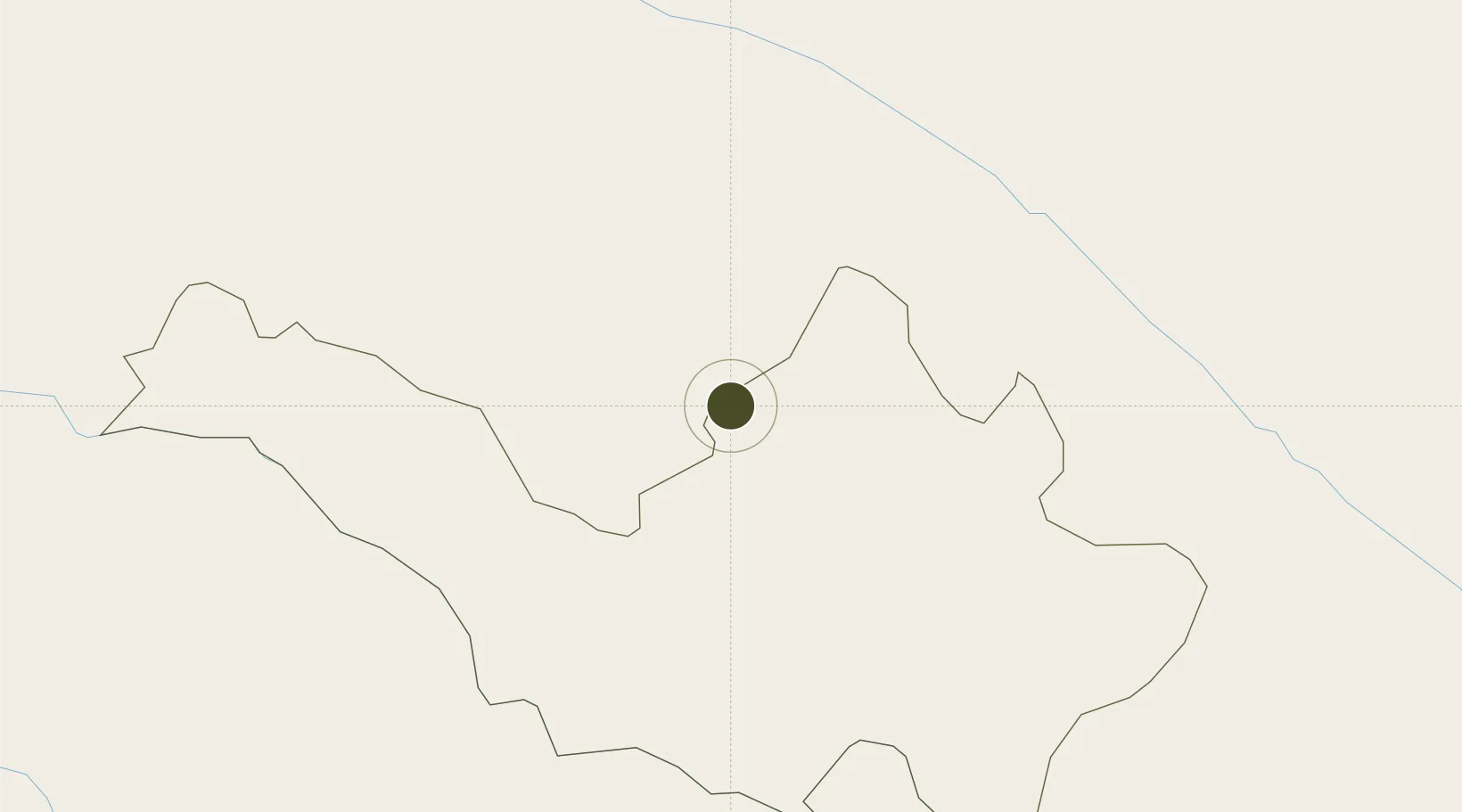
22.6041°, 103.1663°
408.8 km
Nearest port
89.6 km
Nearest airport
Gateway access
Zone profile
Zone type
Economic Zone
Region
Lai Chau
Established
2005
Management
Public agency
Operator
Ma Lu Thang Border Gate Economic Zone Management Board
Regulatory authority
Prime Minister
Legal framework
Law on Foreign Investment in Vietnam, 1996; Decree No. 36/1997/CP on The Regulation of Industrial, Economic and Export processing zones
Location
Fiscal & incentives
Corporate tax
20%
Tax relief
100% exempt
Relief duration
4 years
VAT
No exemption
Import duty (inputs)
0% exempt
Import duty (capex)
100% exempt
Profit repatriation
No exemption
Capital gains
No exemption
Withholding tax
No exemption
Min. investment
None
Min. export
0%
Employment incentive
No exemption
Developer incentive
No established framework
Nearby Logistics Neighbours
Ports
- 1Hai Phong409 km
- 2Hon Gai443 km
- 3Cam Pha467 km
- 4Nghe Tinh505 km
- 5Fang-Cheng542 km
Airports
- 1Honghe Mengzi Airport / Mengzi Air Base90 km
- 2Dien Bien Phu Airport135 km
- 3Wenshan Air Base141 km
- 4Wenshan Puzhehei Airport159 km
- 5Pu'er Simao Airport227 km
Cities
- 1Hekou85 km
- 2Dulong138 km
- 3Wenshan140 km
- 4Jiangcheng Mengkang151 km
- 5B12 Oil Terminal184 km
Trade Zones
DatabookThe Record of Consolidated Knowledge
Vietnam beyond logistics?