Runway & Layout

Airport Specifications
IATA code
ODY
ICAO code
VLOS
Airport class
Small airport
Scheduled service
Yes
Served city
Oudomsay
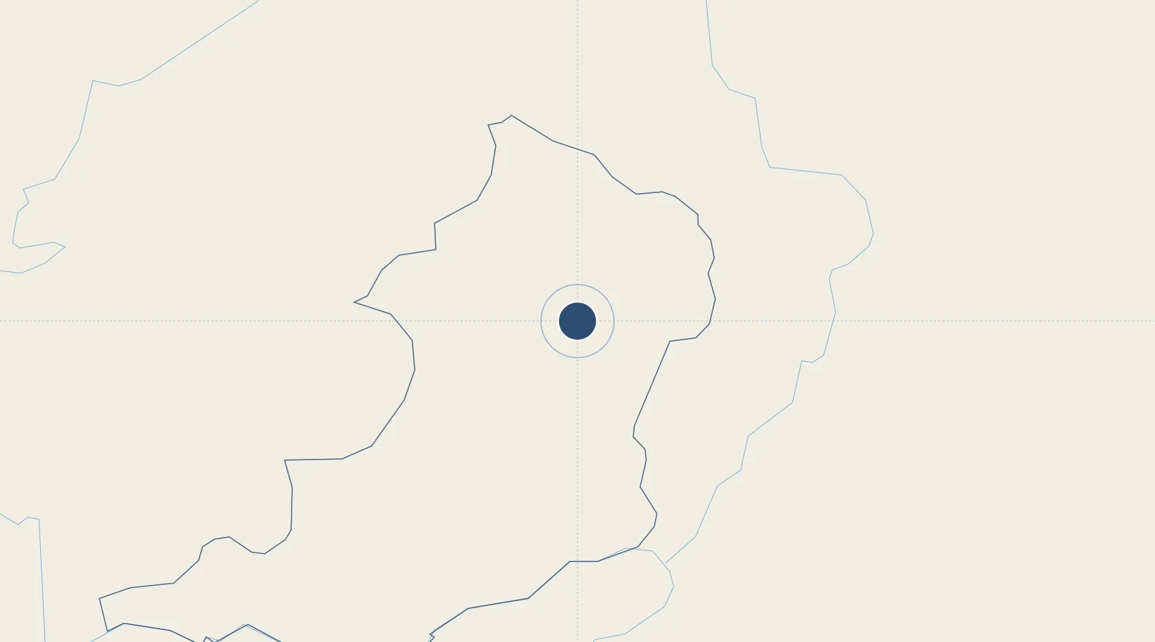
Location
Nearby Logistics Neighbours
Airports
Cities
- 1Oudomxay2 km
- 2Nateuy55 km
- 3Boten64 km
- 4Luang Prabang91 km
- 5B12 Oil Terminal114 km
Ports
- 1Nghe Tinh449 km
- 2Hai Phong488 km
- 3Hon Gai528 km
- 4Cam Pha560 km
- 5Fang-Cheng669 km
Trade Zones
DatabookThe Record of Consolidated Knowledge
Laos beyond logistics?