Transport Functions
Port
Road
Hub Profile
Place type
Populated place
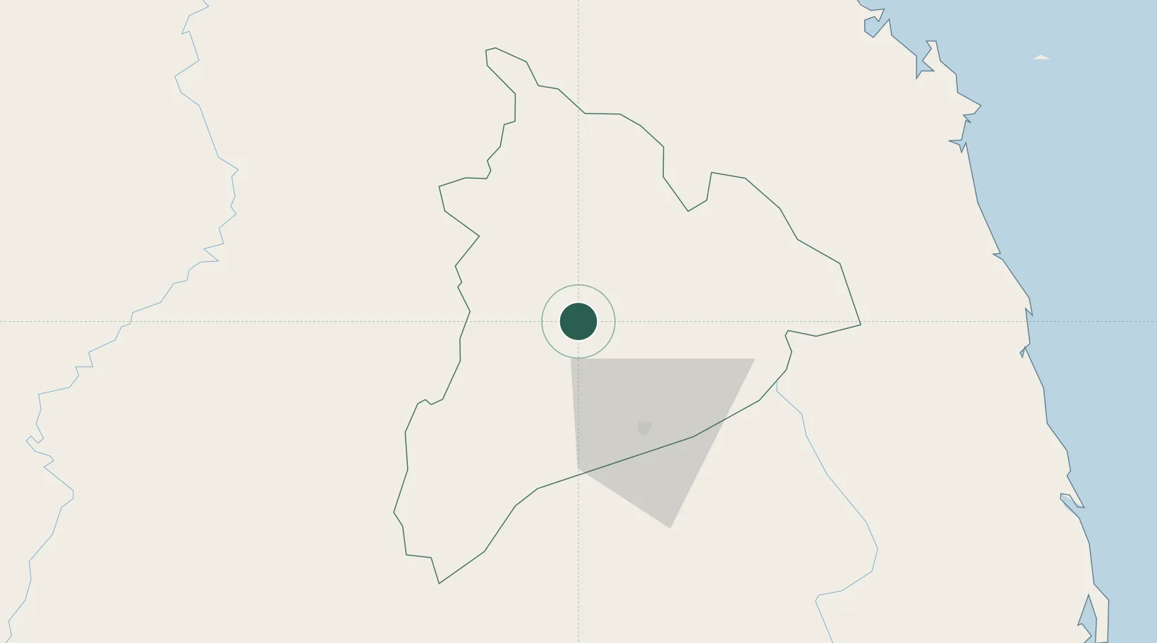
Region
Quang Ngai
Time zone
Asia/Ho_Chi_Minh
Elevation
606 m
Location
Nearby Logistics Neighbours
Cities
- 1Pleiku76 km
- 2Dung Quat125 km
- 3Ky Ha Quang Nam Terminal129 km
- 4Bong Son130 km
- 5Ky Ha Terminal130 km
Ports
- 1Da Nang166 km
- 2Qui Nhon180 km
- 3Nha Trang307 km
- 4Vinh Cam Ranh340 km
- 5Thanh Hoa442 km
Airports
- 1Pleiku Airport75 km
- 2Chu Lai Airport126 km
- 3Ratanakiri Airport137 km
- 4Phu Cat Airport151 km
- 5Da Nang International Airport160 km
Trade Zones
- 1Quang Phu Industrial Park113 km
- 2Pho Phong Industrial Zone114 km
- 3Tinh Phong Industrial Park120 km
- 4Thuan Yen Industrial Park122 km
- 5Thaco Industrial Park123 km
DatabookThe Record of Consolidated Knowledge
Vietnam beyond logistics?