Export Processing Zone · Vietnam

Bồng Sơn Industrial Zone Under Development
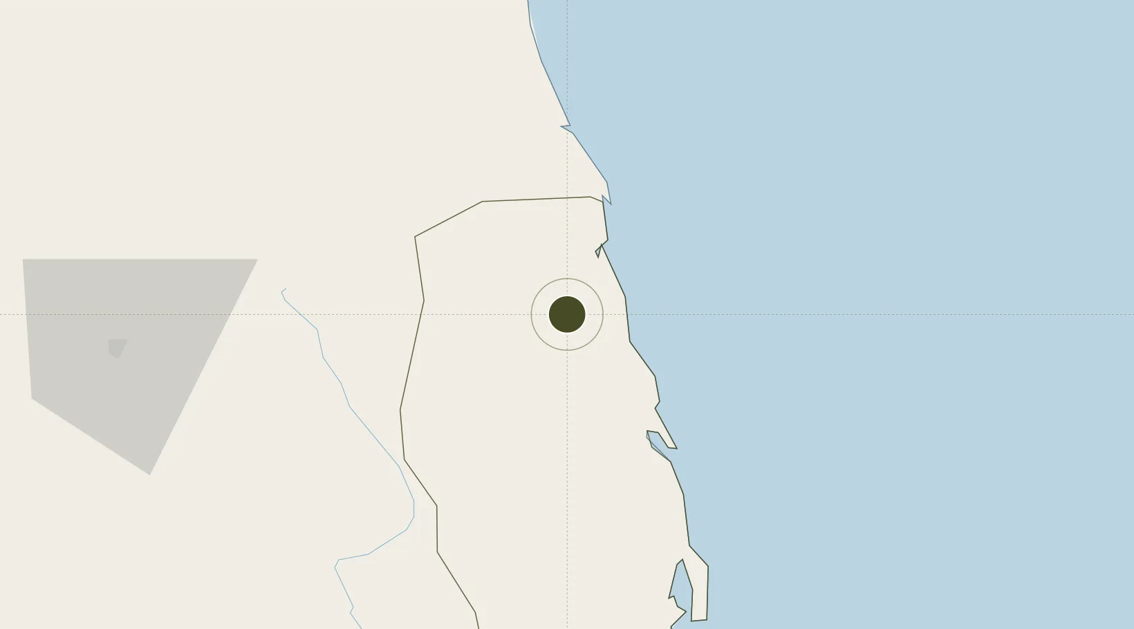
14.4262°, 108.9993°
120 ha
Zone area
77.6 km
Nearest port
52.6 km
Nearest airport

Gateway access

Nearest neighbours — logibook spatial index (haversine) over the source coordinates

Zone profile

Zone type
Export Processing Zone
Open Zone Map
Region
Bình Định
Open Zone Map
Status
Under Development
Open Zone Map
Management
Public
Open Zone Map
Operator
Binh Dinh Economic Zone Administration
Open Zone Map
Legal framework
Decree No.82/2018/ND-CP on Management of Industrial Parks and Economic Zones, Decree No 218/2013/ND-CP
Open Zone Map

Location

Location of ozm-5131
Natural Earth 10m (public domain) · Bình Định · ozm-5131 · 14.43, 109.00GoogleOSMYandex

Nearby Logistics Neighbours

Ports
  1. 1Qui Nhon78 km
  2. 2Da Nang204 km
  3. 3Nha Trang243 km
  4. 4Vinh Cam Ranh283 km
  5. 5Sanya435 km
Nearest neighbours — logibook spatial index (haversine) over the source coordinates
Airports
  1. 1Phu Cat Airport53 km
  2. 2Chu Lai Airport113 km
  3. 3Pleiku Airport116 km
  4. 4Dong Tac Airport157 km
  5. 5Da Nang International Airport199 km
Nearest neighbours — logibook spatial index (haversine) over the source coordinates
Cities
  1. 1Bong Son2 km
  2. 2Qui Nhon76 km
  3. 3Tan Cang - Mien Trung Terminal78 km
  4. 4Thi Nai Port78 km
  5. 5Dung Quat113 km
Nearest neighbours — logibook spatial index (haversine) over the source coordinates
Trade Zones
  1. 1Hòa Hội Industrial Zone42 km
  2. 2Cát Trinh Industrial Zone47 km
  3. 3Pho Phong Industrial Zone50 km
  4. 4Bình Nghi Industrial Zone60 km
  5. 5Nhon Hoa Industrial Zone65 km
Nearest neighbours — logibook spatial index (haversine) over the source coordinates
DatabookThe Record of Consolidated Knowledge
Vietnam beyond logistics?
Browse databook

All Sources

Trade ZonesOpen Zone Map
CC BY
Portsthe NGA World Port Index
Public domain (US gov)
AirportsOurAirports
Public domain
LocationsUN/LOCODE
UN/LOCODE — free
← Vietnam trade zones