UN/LOCODE hub · Venezuela
VECMR
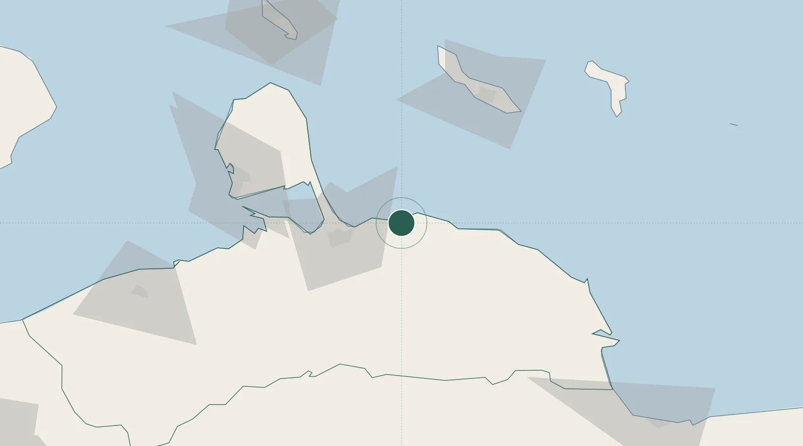
Puerto Cumarebo
11.4833°, -69.3500°
31,644
Population
2
Transport functions
Transport Functions
Port
Road
Hub Profile
Place type
Provincial seat
Region
Falcón
Population
31,644
Time zone
America/Caracas
Elevation
29 m
Location
Nearby Logistics Neighbours
Cities
- 1Turen34 km
- 2Willemstad83 km
- 3Sint Michielsbaai84 km
- 4Dominguito84 km
- 5Caracas Baai85 km
Ports
- 1Sint Michelsbaai81 km
- 2Caracasbaai84 km
- 3Willemstad84 km
- 4Bullen Baai85 km
- 5Las Piedras97 km
Airports
DatabookThe Record of Consolidated Knowledge
Venezuela beyond logistics?