Medium airport · Venezuela
Guanare AirportSVGU
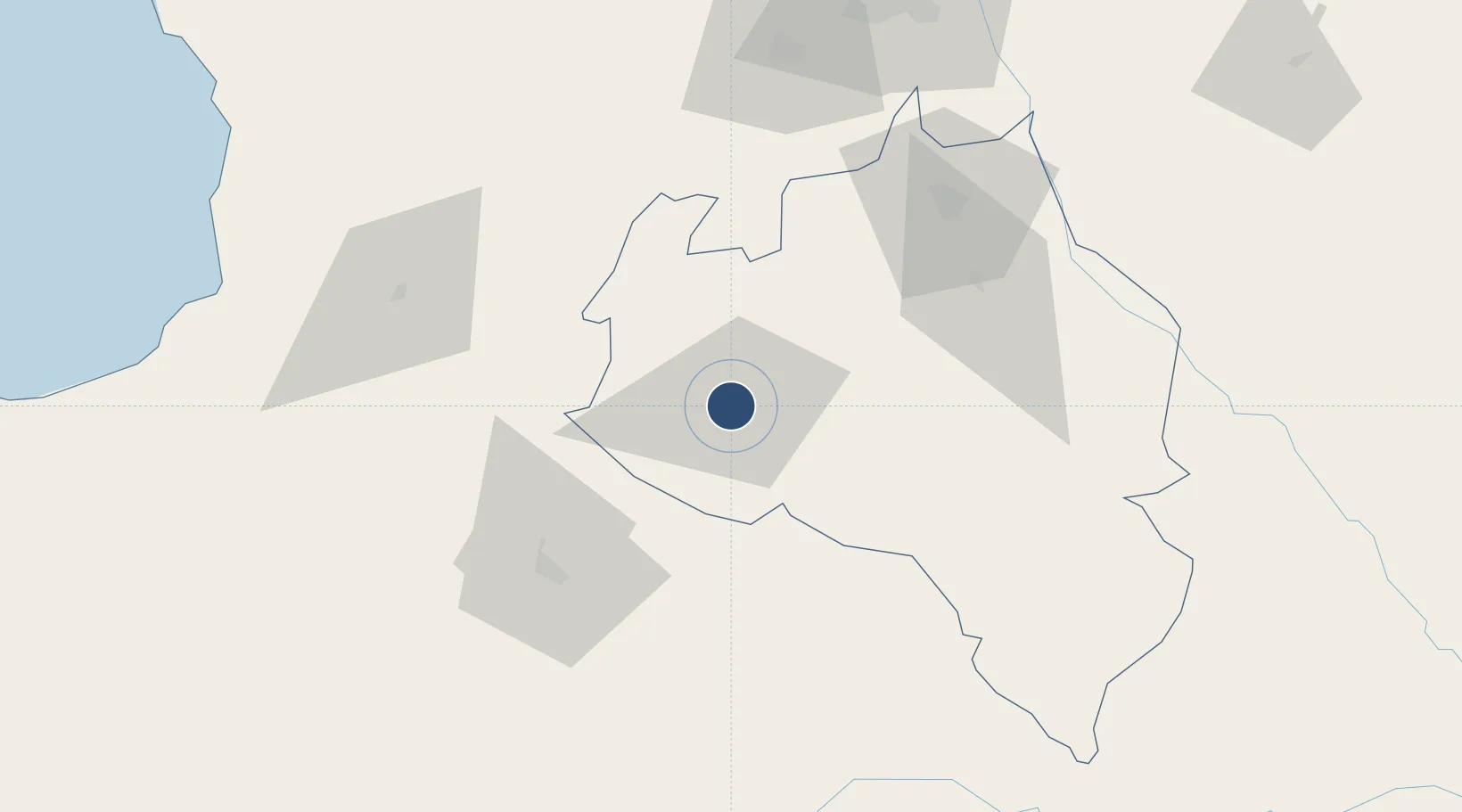
9.0269°, -69.7552°
5,905 ft
Longest runway
1
Runways
606 ft
Elevation
Runway & Layout

Radio Frequencies
TWR
118.4 MHz
GND
121.9 MHz
Navaids
GRE NDB Guanare 318 kHz
Runways · 1
| Runway | Dimensions | Surface | True heading | Lit |
|---|---|---|---|---|
| 05/23 | 5,905 × 131ft | Asphalt | 045° | ✓ |
Airport Specifications
IATA code
GUQ
ICAO code
SVGU
Airport class
Medium airport
Scheduled service
No
Runway surface
Asphalt
Served city
Guanare
Location
Nearby Logistics Neighbours
Airports
Cities
- 1El Playon80 km
- 2Araure84 km
- 3La Miel103 km
- 4Sabana de Parra145 km
- 5San Lorenzo/maracaibo L167 km
Ports
- 1San Lorenzo167 km
- 2La Salina240 km
- 3El Palito242 km
- 4Puerto Cabello251 km
- 5Puerto Borburata253 km
Trade Zones
- 1Scientific, Cultural and Technological Free Zone of the State of Mérida (Zona Libre Cultural, Científica y Tecnológica del Estado Mérida)169 km
- 2Morón Puerto Cabello Special Economic Zone236 km
- 3Free Zone ATUJA273 km
- 4Paraguana SEZ309 km
- 5Free Zone for the Promotion of Tourism Investment in the Paraguaná Peninsula (Zona Libre para el Fomento de la Inversión Turística de la Península de Paraguaná)316 km
DatabookThe Record of Consolidated Knowledge
Venezuela beyond logistics?