UN/LOCODE hub · Venezuela
VESDP
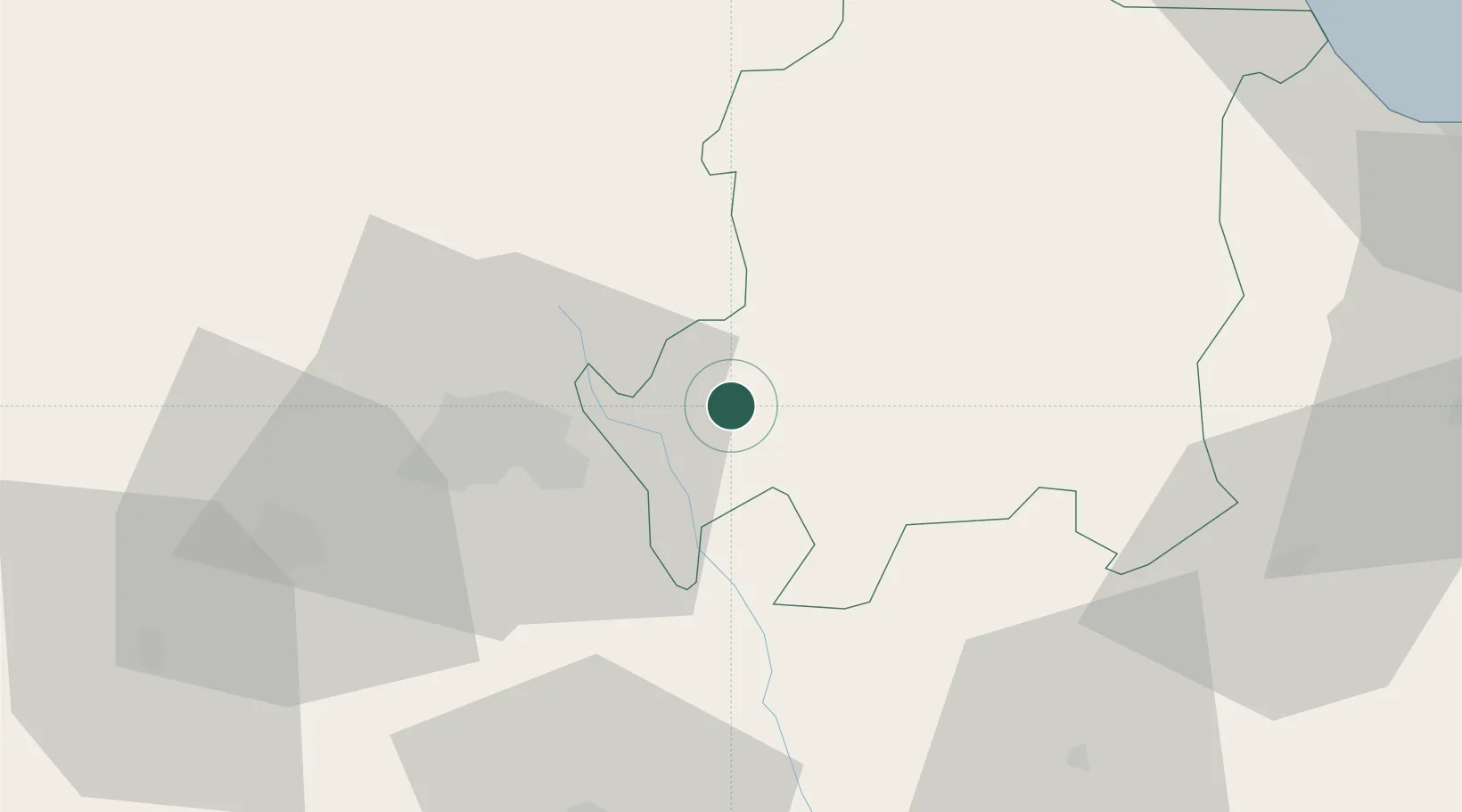
Sabana de Parra
10.1167°, -69.0333°
24,262
Population
1
Transport functions
Transport Functions
Multimodal
Hub Profile
Place type
Provincial seat
Region
Yaracuy
Population
24,262
Time zone
America/Caracas
Elevation
416 m
Location
Nearby Logistics Neighbours
Cities
- 1La Miel43 km
- 2Araure64 km
- 3Morón100 km
- 4El Playon113 km
- 5Puerto Cabello117 km
Ports
- 1El Palito108 km
- 2Puerto Cabello120 km
- 3Puerto Borburata122 km
- 4Puerto Chichiriviche122 km
- 5Puerto Cumarebo156 km
Airports
Trade Zones
- 1Morón Puerto Cabello Special Economic Zone100 km
- 2Paraguana SEZ213 km
- 3Harbor Free Zone Curaçao220 km
- 4Industrial Park Brievengat228 km
- 5Curaçao Airport Free Economic Zone230 km
DatabookThe Record of Consolidated Knowledge
Venezuela beyond logistics?