Medium airport · Venezuela

Sub Teniente Nestor Arias AirportSVSP
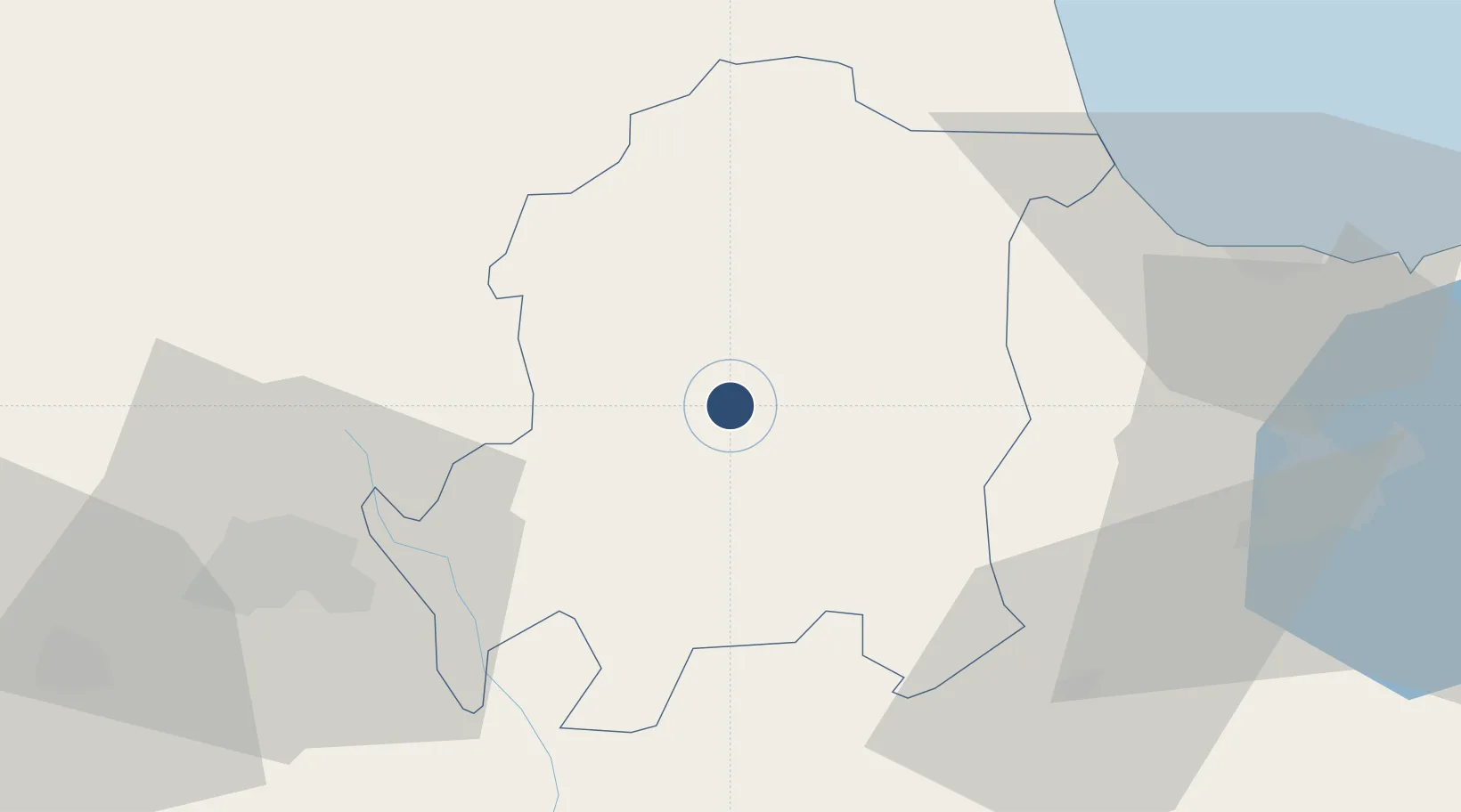
10.2787°, -68.7552°
4,921 ft
Longest runway
1
Runways
761 ft
Elevation

Runway & Layout

Sub Teniente Nestor Arias Airport runway & taxiway layout
Runway & taxiway layout — OpenStreetMap (ODbL) / OurAirports

Radio Frequencies

TWR
118.6 MHz
SAN FELIPE TWR
OurAirports

Navaids

SPE NDB San Felipe 230 kHz
OurAirports

Runways · 1

RunwayDimensions SurfaceTrue headingLit
05/23 4,921 × 131ft Asphalt 036°
OurAirports

Airport Specifications

IATA code
SNF
OurAirports
ICAO code
SVSP
OurAirports
Airport class
Medium airport
OurAirports
Scheduled service
No
OurAirports
Runway surface
Asphalt
OurAirports
Served city
San Felipe
OurAirports

Location

Location of SVSP
Natural Earth 10m (public domain) · Yaracuy · SVSP · 10.28, -68.76GoogleOSMYandex

Nearby Logistics Neighbours

Airports
  1. 1Jacinto Lara International Airport71 km
  2. 2General Bartolome Salom International Airport78 km
  3. 3Arturo Michelena International Airport92 km
  4. 4Oswaldo Guevara Mujica Airport96 km
  5. 5Escuela Mariscal Sucre Airport121 km
Nearest neighbours — logibook spatial index (haversine) over the source coordinates
Cities
  1. 1Sabana de Parra35 km
  2. 2Morón65 km
  3. 3La Miel74 km
  4. 4Puerto Cabello83 km
  5. 5San Diego90 km
Nearest neighbours — logibook spatial index (haversine) over the source coordinates
Ports
  1. 1El Palito74 km
  2. 2Puerto Cabello86 km
  3. 3Puerto Borburata87 km
  4. 4Puerto Chichiriviche89 km
  5. 5Puerto Cumarebo149 km
Nearest neighbours — logibook spatial index (haversine) over the source coordinates
Trade Zones
  1. 1Morón Puerto Cabello Special Economic Zone64 km
  2. 2Harbor Free Zone Curaçao202 km
  3. 3Industrial Park Brievengat209 km
  4. 4Curaçao Airport Free Economic Zone213 km
  5. 5Paraguana SEZ215 km
Nearest neighbours — logibook spatial index (haversine) over the source coordinates
DatabookThe Record of Consolidated Knowledge
Venezuela beyond logistics?
Browse databook

All Sources

AirportsOurAirports
Public domain
Portsthe NGA World Port Index
Public domain (US gov)
LocationsUN/LOCODE
UN/LOCODE — free
Trade Zonesthe World Bank SEZ database
CC BY 4.0
Trade ZonesOpen Zone Map
CC BY
InfrastructureOpenStreetMap
ODbL 1.0
← Venezuela airports