Transport Functions
Multimodal
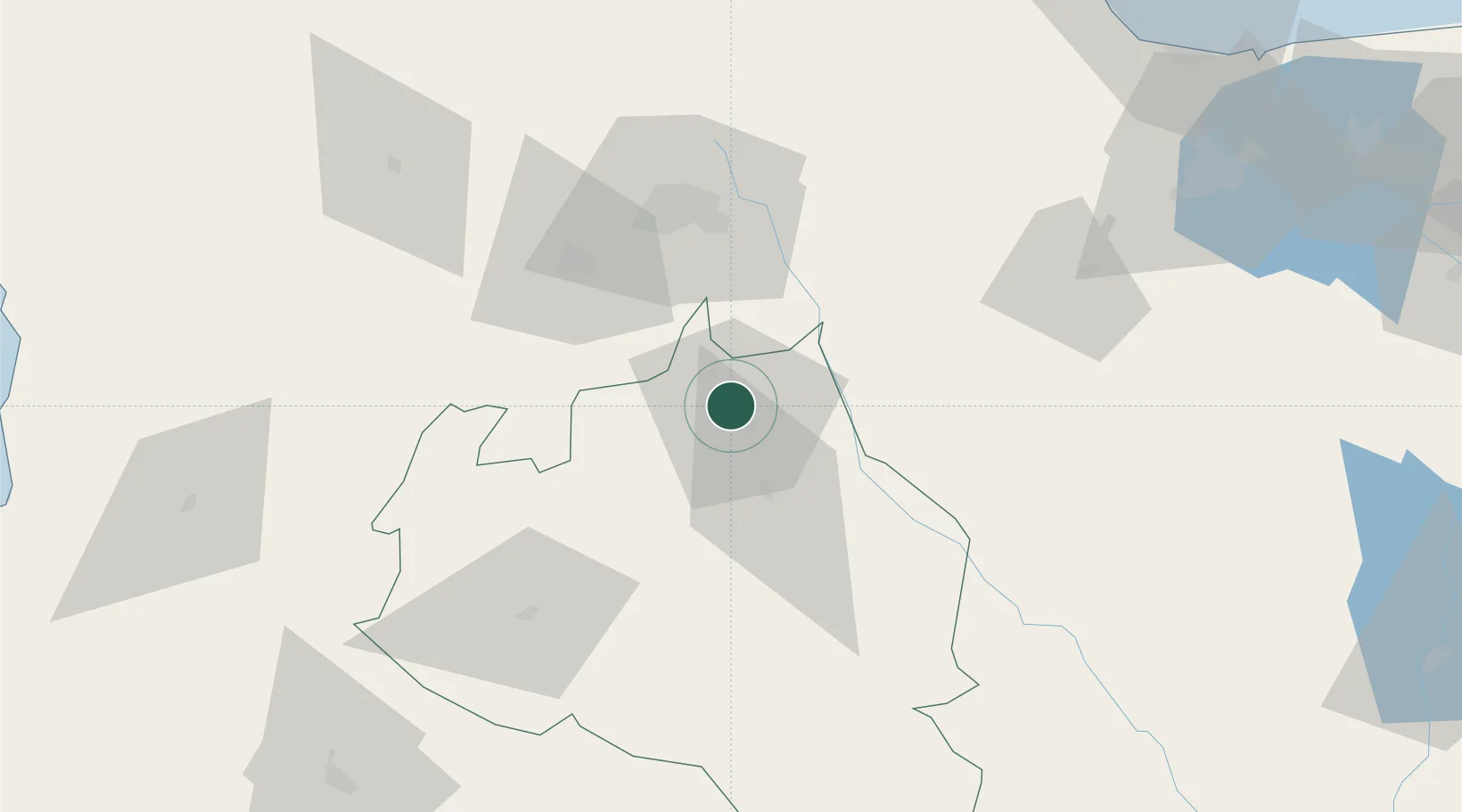
Hub Profile
Place type
Provincial seat
Region
Portuguesa
Population
181,820
Time zone
America/Caracas
Elevation
240 m
Location
Nearby Logistics Neighbours
Cities
- 1La Miel21 km
- 2El Playon56 km
- 3Sabana de Parra64 km
- 4Morón151 km
- 5Los Guayos156 km
Ports
- 1El Palito158 km
- 2Puerto Cabello168 km
- 3Puerto Borburata169 km
- 4Puerto Chichiriviche183 km
- 5San Lorenzo204 km
Airports
Trade Zones
- 1Morón Puerto Cabello Special Economic Zone152 km
- 2Scientific, Cultural and Technological Free Zone of the State of Mérida (Zona Libre Cultural, Científica y Tecnológica del Estado Mérida)247 km
- 3Paraguana SEZ261 km
- 4Free Zone for the Promotion of Tourism Investment in the Paraguaná Peninsula (Zona Libre para el Fomento de la Inversión Turística de la Península de Paraguaná)276 km
- 5Harbor Free Zone Curaçao282 km
DatabookThe Record of Consolidated Knowledge
Venezuela beyond logistics?