Transport Functions
Multimodal
Hub Profile
Place type
Provincial seat
Region
Carabobo
Time zone
America/Caracas
Elevation
444 m
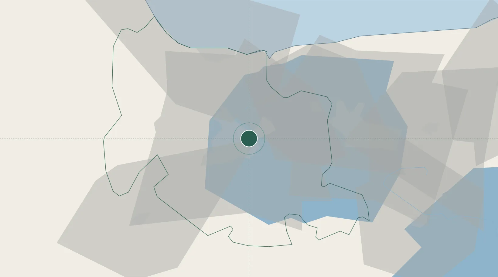
Location
Nearby Logistics Neighbours
Cities
- 1San Diego7 km
- 2Puerto Cabello34 km
- 3Morón44 km
- 4El Consejo73 km
- 5El Junquito98 km
Ports
- 1Puerto Borburata34 km
- 2Puerto Cabello34 km
- 3El Palito39 km
- 4Puerto Chichiriviche89 km
- 5Catia La Mar110 km
Airports
Trade Zones
DatabookThe Record of Consolidated Knowledge
Venezuela beyond logistics?