Medium airport · Venezuela
Oswaldo Guevara Mujica AirportSVAC
9.5534°, -69.2379°
5,990 ft
Longest runway
2
Runways
640 ft
Elevation
Runway & Layout

Radio Frequencies
TWR
118.85 MHz
ACARIGUA TWR
Navaids
AGV VOR-DME Acarigua 113.40 MHz
AGV NDB Acarigua 225 kHz
Runways · 2
| Runway | Dimensions | Surface | True heading | Lit |
|---|---|---|---|---|
| 11/29 | 5,990 × 131ft | Asphalt | 105° | ✓ |
| 05/23 | 2,461 × 75ft | Asphalt | 042° | — |
Airport Specifications
IATA code
AGV
ICAO code
SVAC
Airport class
Medium airport
Scheduled service
No
Runway surface
Asphalt
Served city
Acarigua
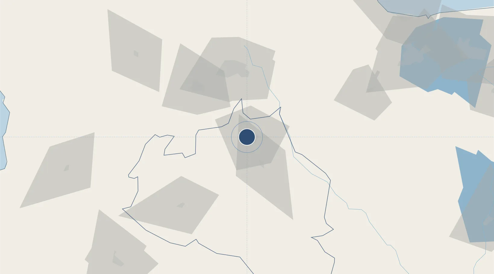
Location
Nearby Logistics Neighbours
Airports
Cities
- 1Araure3 km
- 2La Miel23 km
- 3El Playon55 km
- 4Sabana de Parra67 km
- 5Morón154 km
Ports
- 1El Palito161 km
- 2Puerto Cabello171 km
- 3Puerto Borburata172 km
- 4Puerto Chichiriviche185 km
- 5San Lorenzo202 km
Trade Zones
- 1Morón Puerto Cabello Special Economic Zone155 km
- 2Scientific, Cultural and Technological Free Zone of the State of Mérida (Zona Libre Cultural, Científica y Tecnológica del Estado Mérida)244 km
- 3Paraguana SEZ262 km
- 4Free Zone for the Promotion of Tourism Investment in the Paraguaná Peninsula (Zona Libre para el Fomento de la Inversión Turística de la Península de Paraguaná)276 km
- 5Harbor Free Zone Curaçao284 km
DatabookThe Record of Consolidated Knowledge
Venezuela beyond logistics?