Medium airport · Venezuela
Barinas AirportSVBI
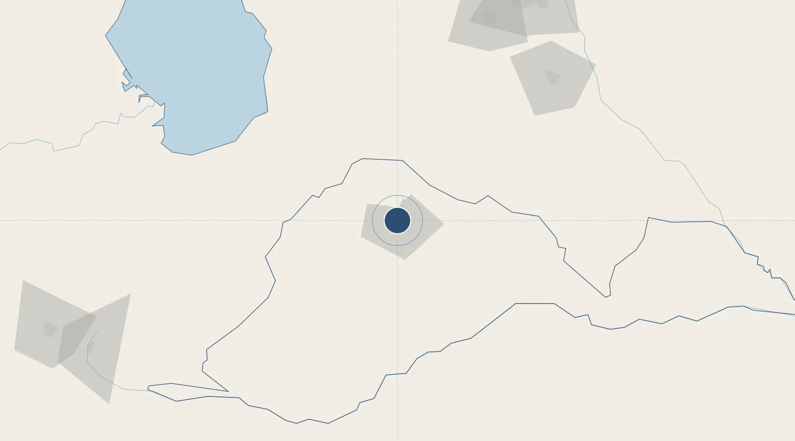
8.6150°, -70.2142°
6,560 ft
Longest runway
2
Runways
615 ft
Elevation
Runway & Layout

Radio Frequencies
TWR
118 MHz
GND
121.9 MHz
Navaids
BNS VOR-DME Barinas 117.50 MHz
BNS NDB Barinas 220 kHz
Runways · 2
| Runway | Dimensions | Surface | True heading | Lit |
|---|---|---|---|---|
| 13/31 | 6,560 × 135ft | Asphalt | 123° | ✓ |
| 03/21 | 3,940 × 130ft | Asphalt | 033° | — |
Airport Specifications
IATA code
BNS
ICAO code
SVBI
Airport class
Medium airport
Scheduled service
Yes
Runway surface
Asphalt
Served city
Barinas
Location
Nearby Logistics Neighbours
Airports
- 1Guanare Airport68 km
- 2Dr. Antonio Nicolás Briceño Airport90 km
- 3Alberto Carnevalli Airport104 km
- 4Palmarito Airport116 km
- 5Oswaldo Guevara Mujica Airport150 km
Cities
- 1El Playon141 km
- 2Araure152 km
- 3San Lorenzo/maracaibo L160 km
- 4Mantecal165 km
- 5La Miel171 km
Ports
- 1San Lorenzo160 km
- 2La Salina238 km
- 3Bajo Grande263 km
- 4Maracaibo271 km
- 5El Tabiazo280 km
Trade Zones
DatabookThe Record of Consolidated Knowledge
Venezuela beyond logistics?