Transport Functions
Port
Road
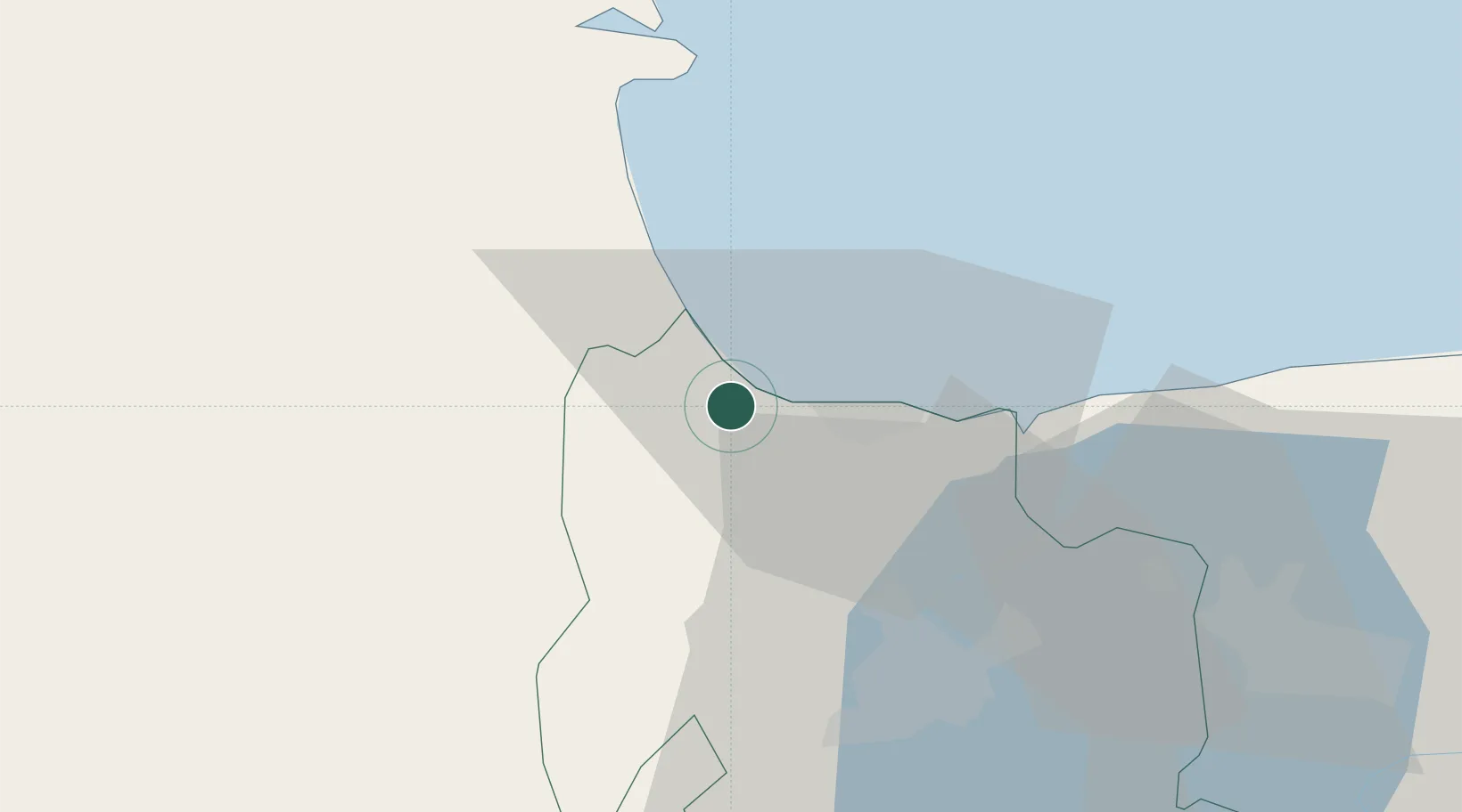
Hub Profile
Place type
Provincial seat
Region
Carabobo
Population
68,084
Time zone
America/Caracas
Elevation
15 m
Location
Nearby Logistics Neighbours
Cities
- 1Puerto Cabello19 km
- 2San Diego39 km
- 3Los Guayos44 km
- 4Sabana de Parra100 km
- 5El Consejo106 km
Ports
- 1El Palito9 km
- 2Puerto Cabello22 km
- 3Puerto Borburata24 km
- 4Puerto Chichiriviche49 km
- 5Catia La Mar130 km
Airports
Trade Zones
DatabookThe Record of Consolidated Knowledge
Venezuela beyond logistics?