Medium airport · Venezuela
Dr. Antonio Nicolás Briceño AirportSVVL
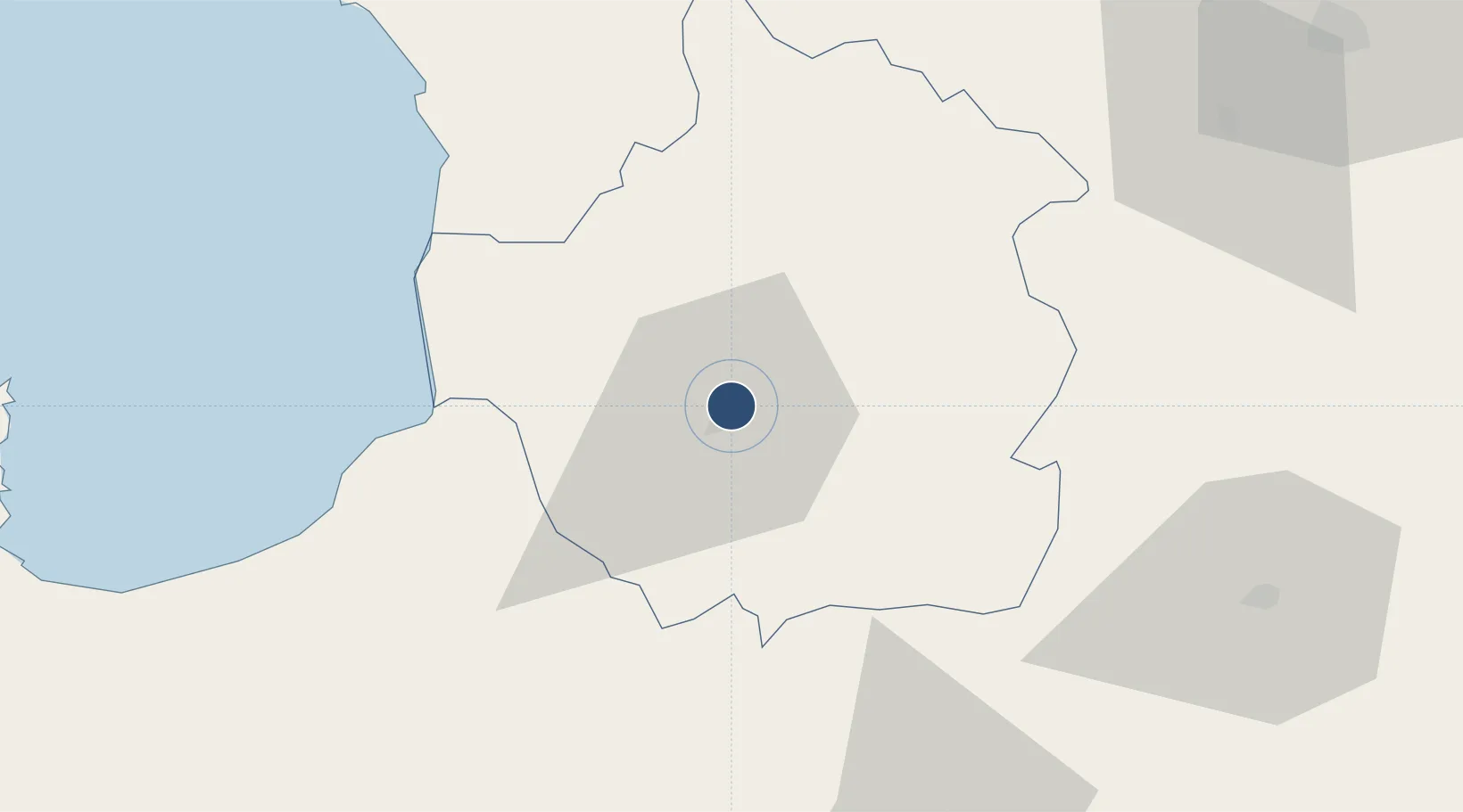
9.3405°, -70.5841°
6,791 ft
Longest runway
1
Runways
2,060 ft
Elevation
Runway & Layout

Radio Frequencies
TWR
122.8 MHz
VALERA TWR
GND
121.9 MHz
Navaids
VRA VOR-DME Valera 114.40 MHz
VRA NDB Valera 278 kHz
Runways · 1
| Runway | Dimensions | Surface | True heading | Lit |
|---|---|---|---|---|
| 03/21 | 6,791 × 148ft | Asphalt | 027° | ✓ |
Airport Specifications
IATA code
VLV
ICAO code
SVVL
Airport class
Medium airport
Scheduled service
Yes
Runway surface
Asphalt
Served city
Valera
Location
Nearby Logistics Neighbours
Airports
- 1Barinas Airport90 km
- 2Guanare Airport97 km
- 3Alberto Carnevalli Airport106 km
- 4Juan Pablo Pérez Alfonso Airport144 km
- 5Oswaldo Guevara Mujica Airport150 km
Cities
- 1San Lorenzo/maracaibo L72 km
- 2Araure152 km
- 3La Miel162 km
- 4Chiquinquirá167 km
- 5El Playon172 km
Ports
- 1San Lorenzo72 km
- 2La Salina150 km
- 3Bajo Grande174 km
- 4Maracaibo182 km
- 5El Tabiazo190 km
Trade Zones
- 1Scientific, Cultural and Technological Free Zone of the State of Mérida (Zona Libre Cultural, Científica y Tecnológica del Estado Mérida)112 km
- 2Free Zone ATUJA183 km
- 3Urema-San Antonio Special Border Economic Zone258 km
- 4Zona Franca de Cúcuta263 km
- 5Free Zone for the Promotion of Tourism Investment in the Paraguaná Peninsula (Zona Libre para el Fomento de la Inversión Turística de la Península de Paraguaná)279 km
DatabookThe Record of Consolidated Knowledge
Venezuela beyond logistics?