Transport Functions
Multimodal
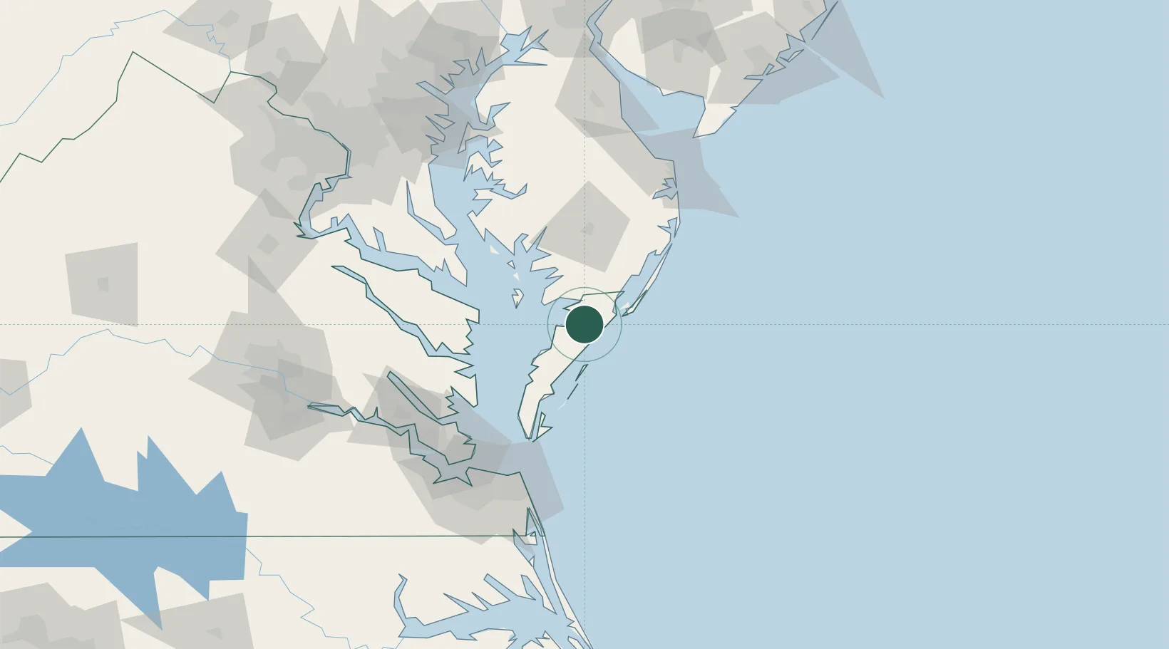
Hub Profile
Place type
Populated place
Region
Virginia
Population
385
Time zone
America/New_York
Elevation
7 m
Location
Nearby Logistics Neighbours
Cities
- 1Nelsonia3 km
- 2Westover34 km
- 3Jamesville44 km
- 4Fruitland56 km
- 5Berlin66 km
Ports
- 1Salisbury61 km
- 2Cape Charles71 km
- 3Ocean City74 km
- 4Piney Point88 km
- 5Solomons Island92 km
Airports
Trade Zones
- 1FTZ No. 020 Suffolk131 km
- 2FTZ No. 207 Richmond174 km
- 3FTZ No. 063 PrInce Georges County176 km
- 4FTZ No. 073 BWI Airport177 km
- 5FTZ No. 142 Salem Millville180 km
DatabookThe Record of Consolidated Knowledge
United States beyond logistics?