Transport Functions
Rail
Road
Multimodal
Hub Profile
Place type
Populated place
Region
Louisiana
Population
1,972
Time zone
America/Chicago
Elevation
62 m
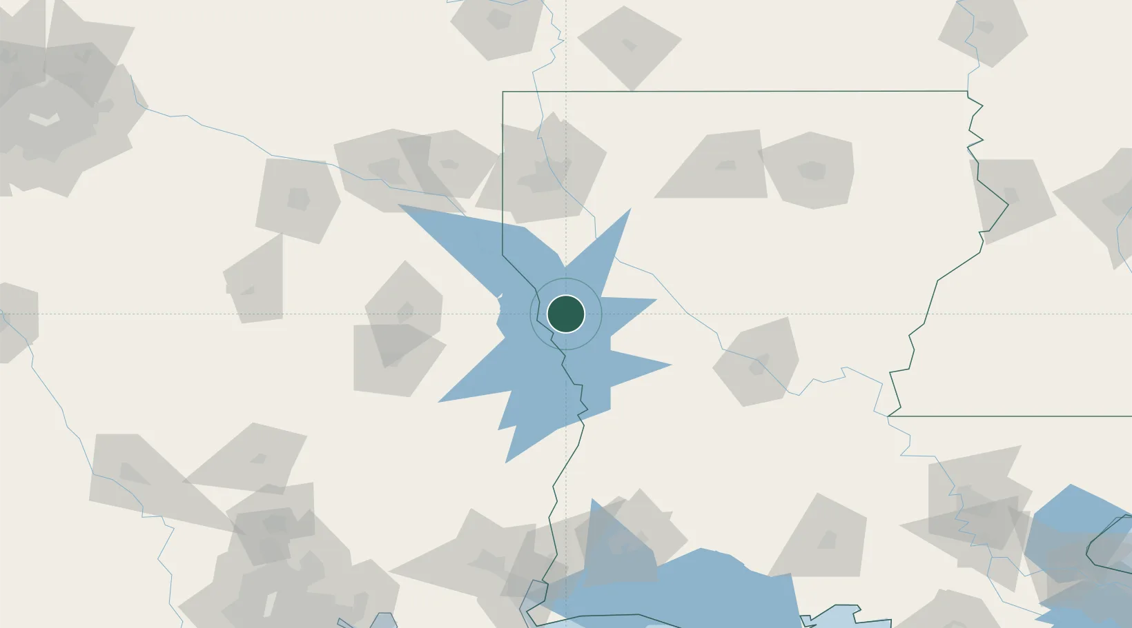
Location
Nearby Logistics Neighbours
Ports
- 1Lake Charles162 km
- 2Orange173 km
- 3Beaumont177 km
- 4Port Neches184 km
- 5Port Arthur202 km
Airports
Trade Zones
- 1FTZ No. 145 Shreveport96 km
- 2FTZ No. 146 Lawrence County96 km
- 3FTZ No. 297 Lufkin114 km
- 4FTZ No. 234 Gregg County155 km
- 5FTZ No. 087 Lake Charles162 km
DatabookThe Record of Consolidated Knowledge
United States beyond logistics?