Transport Functions
Rail
Road
Multimodal
Hub Profile
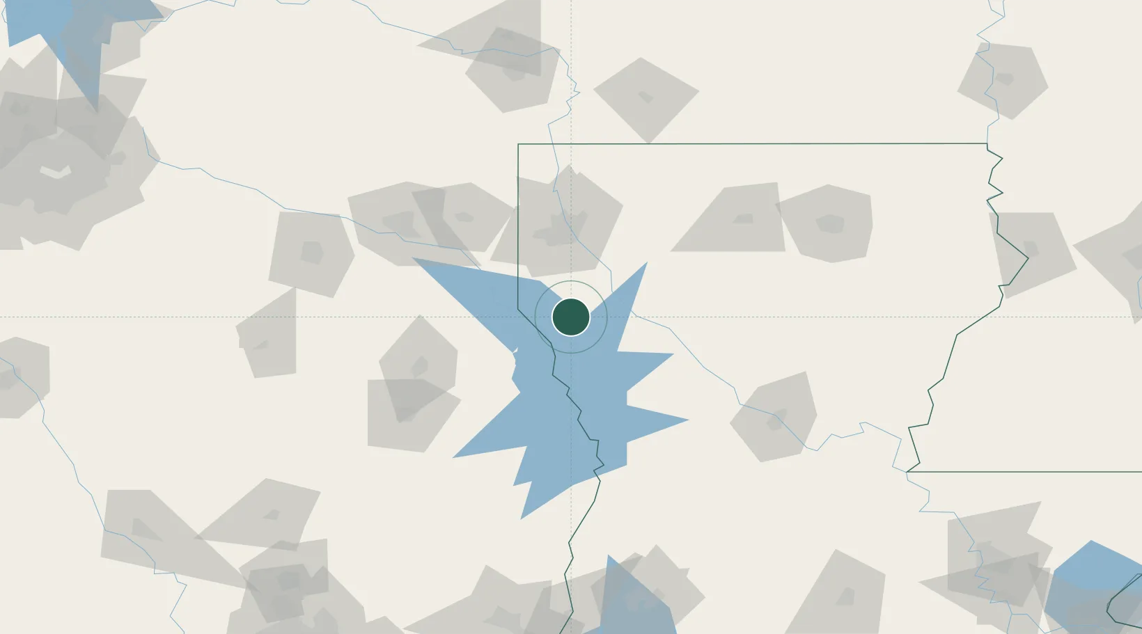
Place type
Populated place
Region
Louisiana
Time zone
America/Chicago
Elevation
105 m
Location
Nearby Logistics Neighbours
Cities
- 1Mansfield9 km
- 2Converse21 km
- 3Zwolle36 km
- 4Keithville42 km
- 5Many48 km
Ports
- 1Lake Charles198 km
- 2Orange208 km
- 3Beaumont211 km
- 4Port Neches218 km
- 5Port Arthur237 km
Airports
- 1Shreveport Regional Airport56 km
- 2Barksdale Air Force Base62 km
- 3East Texas Regional Airport105 km
- 4Polk Army Air Field112 km
- 5Angelina County Airport126 km
Trade Zones
- 1FTZ No. 145 Shreveport61 km
- 2FTZ No. 146 Lawrence County61 km
- 3FTZ No. 297 Lufkin124 km
- 4FTZ No. 234 Gregg County130 km
- 5FTZ No. 258 Bowie County192 km
DatabookThe Record of Consolidated Knowledge
United States beyond logistics?