Transport Functions
Rail
Road
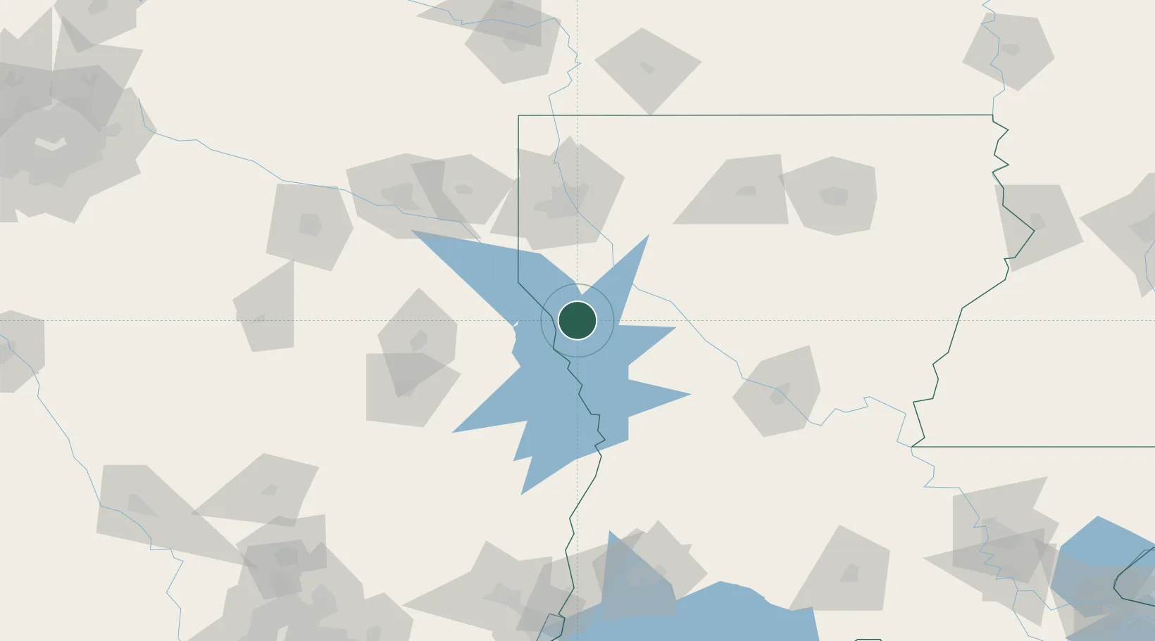
Hub Profile
Place type
Populated place
Region
Louisiana
Population
439
Time zone
America/Chicago
Elevation
65 m
Location
Nearby Logistics Neighbours
Ports
- 1Lake Charles177 km
- 2Orange187 km
- 3Beaumont191 km
- 4Port Neches198 km
- 5Port Arthur217 km
Airports
- 1Shreveport Regional Airport77 km
- 2Barksdale Air Force Base82 km
- 3Polk Army Air Field93 km
- 4Beauregard Regional Airport109 km
- 5Angelina County Airport117 km
Trade Zones
- 1FTZ No. 145 Shreveport81 km
- 2FTZ No. 146 Lawrence County81 km
- 3FTZ No. 297 Lufkin117 km
- 4FTZ No. 234 Gregg County143 km
- 5FTZ No. 087 Lake Charles177 km
DatabookThe Record of Consolidated Knowledge
United States beyond logistics?