Transport Functions
Port
Hub Profile
Place type
Populated place
Region
Louisiana
Time zone
America/Chicago
Elevation
61 m
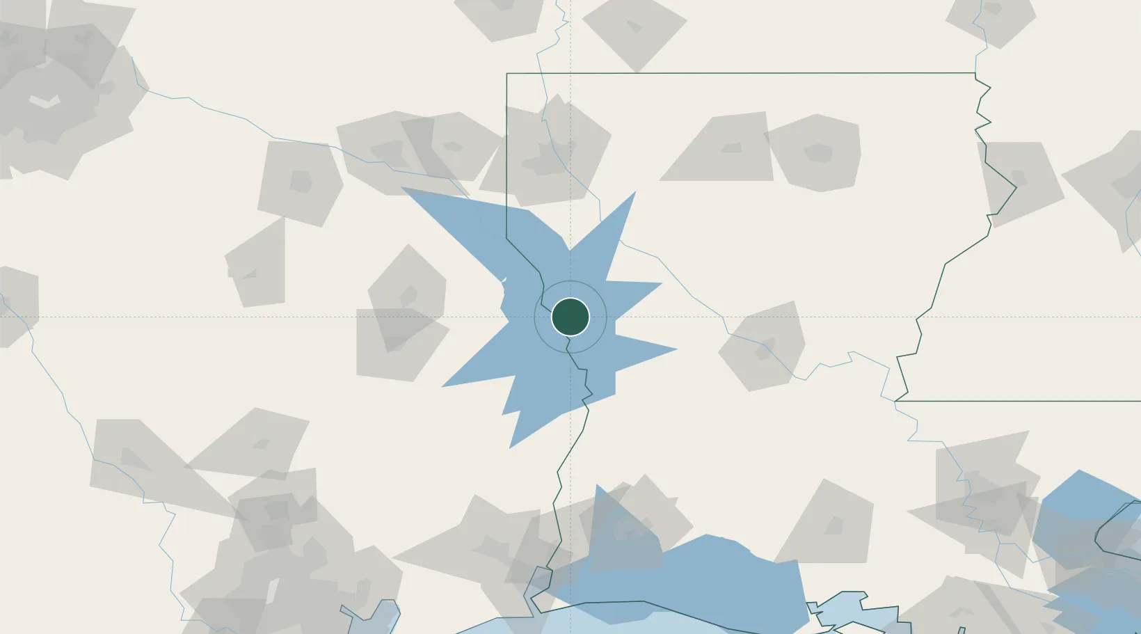
Location
Nearby Logistics Neighbours
Cities
- 1Zwolle13 km
- 2Many17 km
- 3Florien20 km
- 4Converse28 km
- 5San Augustine43 km
Ports
- 1Lake Charles150 km
- 2Orange160 km
- 3Beaumont165 km
- 4Port Neches171 km
- 5Port Arthur190 km
Airports
- 1Polk Army Air Field68 km
- 2Beauregard Regional Airport82 km
- 3Shreveport Regional Airport105 km
- 4Alexandria International Airport107 km
- 5Angelina County Airport109 km
Trade Zones
- 1FTZ No. 145 Shreveport109 km
- 2FTZ No. 146 Lawrence County109 km
- 3FTZ No. 297 Lufkin111 km
- 4FTZ No. 087 Lake Charles149 km
- 5FTZ No. 117 Orange156 km
DatabookThe Record of Consolidated Knowledge
United States beyond logistics?