UN/LOCODE hub · United States
USLMP
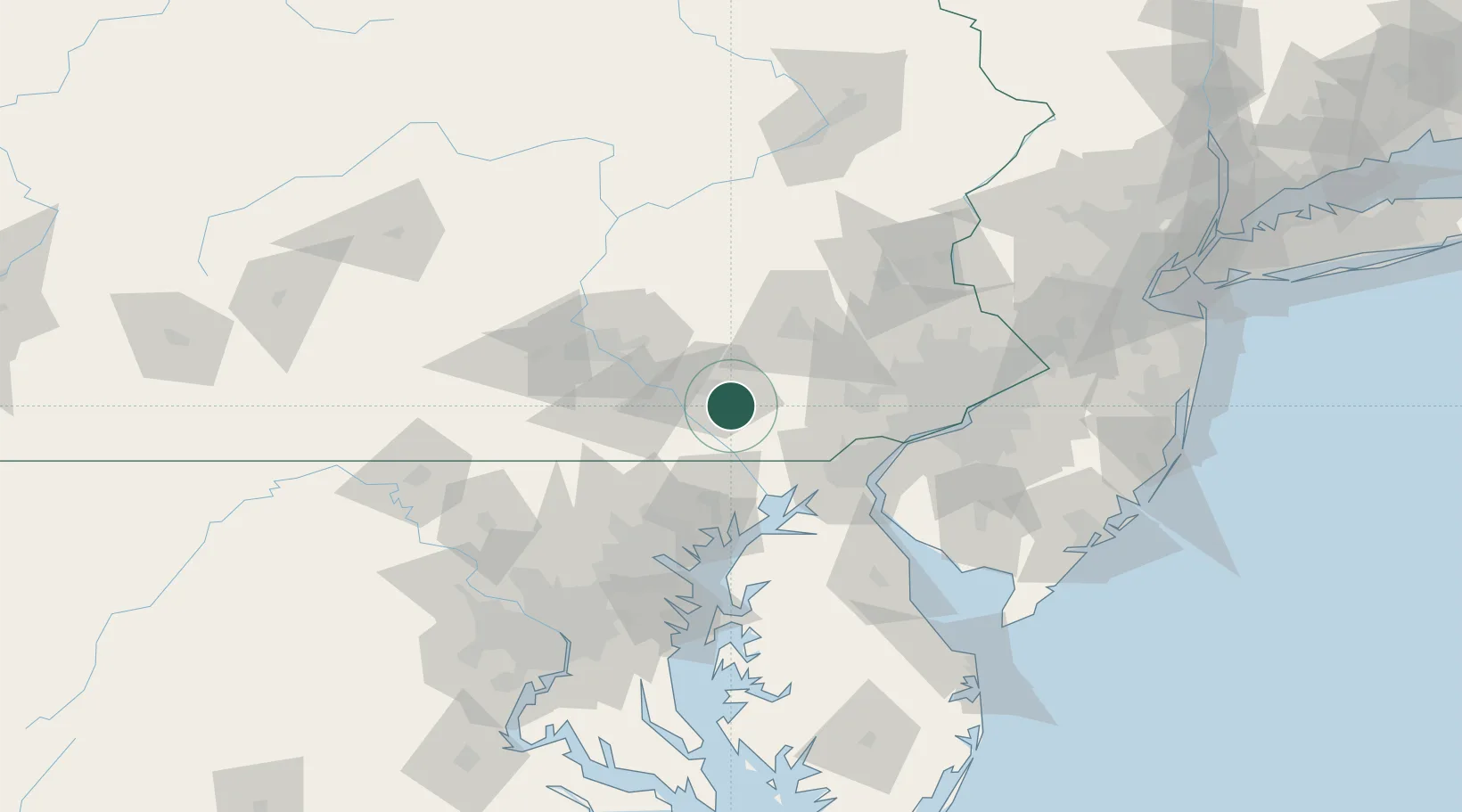
Lampeter
39.9833°, -76.2500°
1,669
Population
2
Transport functions
Transport Functions
Road
Multimodal
Hub Profile
Place type
Populated place
Region
Pennsylvania
Population
1,669
Time zone
America/New_York
Elevation
124 m
Location
Nearby Logistics Neighbours
Cities
- 1Strasburg6 km
- 2Smoketown8 km
- 3Ronks8 km
- 4New Providence9 km
- 5Millersville9 km
Ports
- 1Havre De Grace52 km
- 2Wilmington66 km
- 3New Castle69 km
- 4Deepwater Point70 km
- 5Marcus Hook74 km
Airports
Trade Zones
DatabookThe Record of Consolidated Knowledge
United States beyond logistics?