UN/LOCODE hub · United States
USZPS
Zolfo Springs
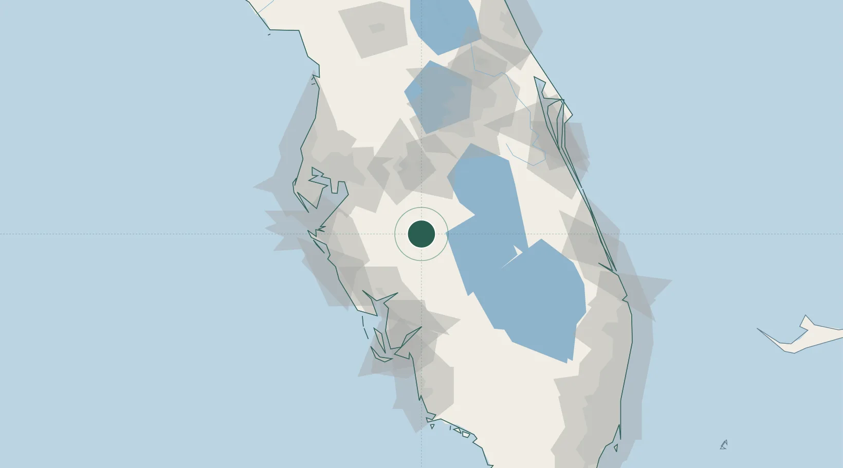
27.4833°, -81.7833°
1,803
Population
1
Transport functions
Transport Functions
Multimodal
Hub Profile
Place type
Populated place
Region
Florida
Population
1,803
Time zone
America/New_York
Elevation
20 m
Location
Nearby Logistics Neighbours
Cities
- 1Wauchula6 km
- 2Fort Meade30 km
- 3Lake Garfield45 km
- 4Highland City53 km
- 5Deland56 km
Ports
- 1Port Manatee79 km
- 2Tampa81 km
- 3Sankt-Peterburg88 km
- 4Boca Grande103 km
- 5Tarpon Springs122 km
Airports
Trade Zones
- 1FTZ No. 215 Sebring25 km
- 2FTZ No. 079 Tampa83 km
- 3FTZ No. 169 Manatee County93 km
- 4FTZ No. 213 Fort Myers97 km
- 5FTZ No. 136 Brevard County106 km
DatabookThe Record of Consolidated Knowledge
United States beyond logistics?