Medium airport · United States
Punta Gorda AirportKPGD
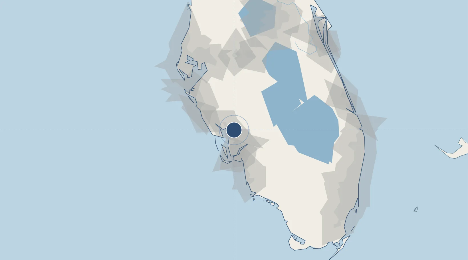
26.9202°, -81.9905°
7,193 ft
Longest runway
3
Runways
26 ft
Elevation
Runway & Layout

Radio Frequencies
ASOS
135.675 MHz
CLD
127.05 MHz
CLNC DEL
A/D
126.8 MHz
FORT MYERS APP/DEP
RDO
122.025 MHz
ST PETERSBURG RDO
UNIC
122.975 MHz
CTAF/UNICOM
Runways · 3
| Runway | Dimensions | Surface | True heading | Lit |
|---|---|---|---|---|
| 04/22 | 7,193 × 150ft | ASPH-G | 029° | — |
| 15/33 | 6,286 × 150ft | Asphalt | 149° | ✓ |
| 09/27 | 2,636 × 60ft | Asphalt | 089° | — |
Airport Specifications
IATA code
PGD
ICAO code
KPGD
Airport class
Medium airport
Scheduled service
Yes
Runway surface
ASPH-G
Served city
Punta Gorda
Location
Nearby Logistics Neighbours
Airports
Cities
- 1Placida29 km
- 2Bokeelia29 km
- 3Boca Grande33 km
- 4Englewood36 km
- 5Cape Coral40 km
Ports
- 1Boca Grande42 km
- 2Port Manatee98 km
- 3Sankt-Peterburg113 km
- 4Tampa120 km
- 5Tarpon Springs157 km
Trade Zones
- 1FTZ No. 213 Fort Myers35 km
- 2FTZ No. 215 Sebring77 km
- 3FTZ No. 169 Manatee County92 km
- 4FTZ No. 079 Tampa123 km
- 5FTZ No. 218 St. Lucie County152 km
DatabookThe Record of Consolidated Knowledge
United States beyond logistics?