UN/LOCODE hub · United States
USWU9
Wauchula
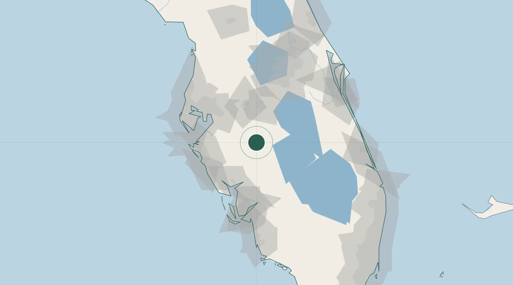
27.5333°, -81.8000°
4,935
Population
1
Transport functions
Transport Functions
Multimodal
Hub Profile
Place type
Provincial seat
Region
Florida
Population
4,935
Time zone
America/New_York
Elevation
34 m
Location
Nearby Logistics Neighbours
Cities
- 1Zolfo Springs6 km
- 2Fort Meade24 km
- 3Lake Garfield39 km
- 4Highland City47 km
- 5Deland51 km
Ports
- 1Port Manatee76 km
- 2Tampa77 km
- 3Sankt-Peterburg85 km
- 4Boca Grande107 km
- 5Tarpon Springs117 km
Airports
Trade Zones
- 1FTZ No. 215 Sebring28 km
- 2FTZ No. 079 Tampa79 km
- 3FTZ No. 169 Manatee County91 km
- 4FTZ No. 136 Brevard County102 km
- 5FTZ No. 213 Fort Myers102 km
DatabookThe Record of Consolidated Knowledge
United States beyond logistics?