UN/LOCODE hub · United States
USZOR
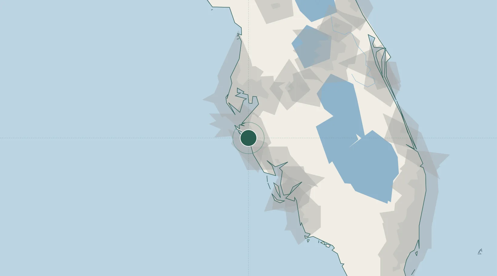
Sarasota
27.3333°, -82.5333°
55,118
Population
3
Transport functions
Transport Functions
Port
Rail
Road
Hub Profile
Place type
Provincial seat
Region
Florida
Population
55,118
Time zone
America/New_York
Elevation
7 m
Location
Nearby Logistics Neighbours
Cities
- 1Longboat Key14 km
- 2Bradenton Beach22 km
- 3Memphis22 km
- 4Port Manatee33 km
- 5Englewood46 km
Ports
- 1Port Manatee34 km
- 2Sankt-Peterburg49 km
- 3Tampa65 km
- 4Boca Grande73 km
- 5Tarpon Springs94 km
Airports
Trade Zones
- 1FTZ No. 169 Manatee County21 km
- 2FTZ No. 079 Tampa69 km
- 3FTZ No. 193 Pinellas County88 km
- 4FTZ No. 215 Sebring101 km
- 5FTZ No. 213 Fort Myers101 km
DatabookThe Record of Consolidated Knowledge
United States beyond logistics?