UN/LOCODE hub · United States
USXEW
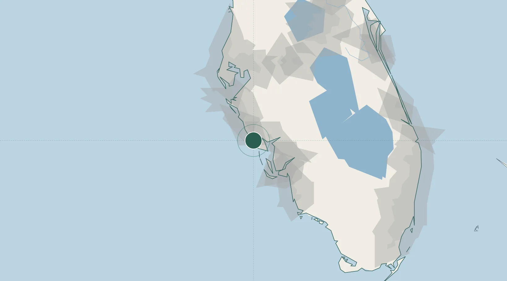
Englewood
26.9500°, -82.3500°
14,863
Population
2
Transport functions
Transport Functions
Road
Multimodal
Hub Profile
Place type
Populated place
Region
Florida
Population
14,863
Time zone
America/New_York
Elevation
3 m
Location
Nearby Logistics Neighbours
Cities
- 1Placida15 km
- 2Boca Grande26 km
- 3Bokeelia34 km
- 4Sarasota46 km
- 5Captiva51 km
Ports
- 1Boca Grande28 km
- 2Port Manatee79 km
- 3Sankt-Peterburg95 km
- 4Tampa108 km
- 5Tarpon Springs140 km
Airports
Trade Zones
- 1FTZ No. 213 Fort Myers58 km
- 2FTZ No. 169 Manatee County64 km
- 3FTZ No. 215 Sebring100 km
- 4FTZ No. 079 Tampa112 km
- 5FTZ No. 193 Pinellas County134 km
DatabookThe Record of Consolidated Knowledge
United States beyond logistics?