UN/LOCODE hub · United States
USGWB
Glenwood
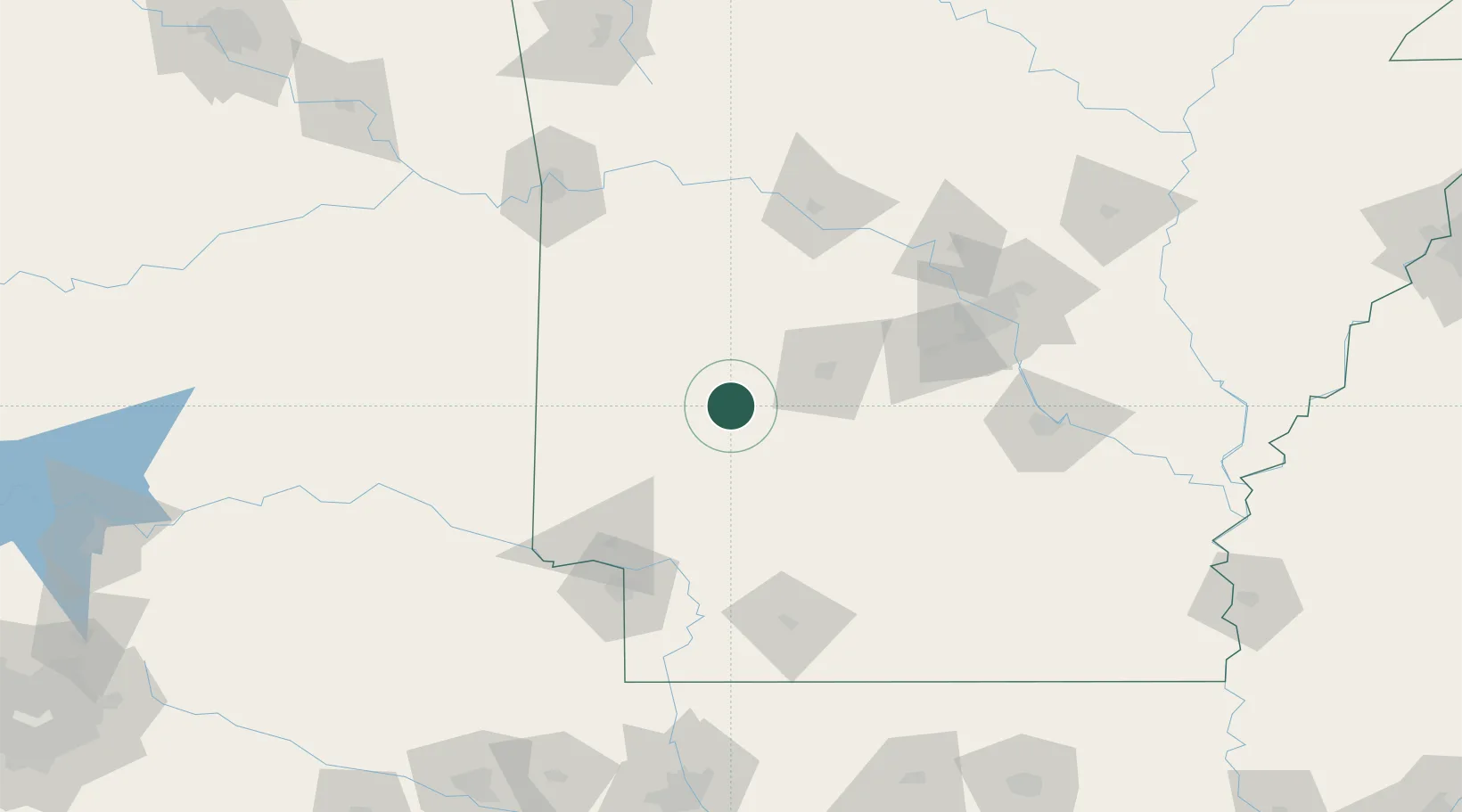
34.3333°, -93.5333°
2,141
Population
2
Transport functions
Transport Functions
Rail
Road
Hub Profile
Place type
Populated place
Region
Arkansas
Population
2,141
Time zone
America/Chicago
Elevation
171 m
Location
Nearby Logistics Neighbours
Cities
- 1Norman20 km
- 2Pearcy25 km
- 3Clear Lake25 km
- 4Royal33 km
- 5Bismarck34 km
Ports
- 1Port Of Memphis318 km
- 2Lake Charles459 km
- 3Orange473 km
- 4Beaumont475 km
- 5Port Neches483 km
Airports
Trade Zones
- 1FTZ No. 014 Little Rock130 km
- 2FTZ No. 258 Bowie County142 km
- 3FTZ No. 145 Shreveport212 km
- 4FTZ No. 146 Lawrence County212 km
- 5FTZ No. 164 Muskogee233 km
DatabookThe Record of Consolidated Knowledge
United States beyond logistics?