Transport Functions
Rail
Road
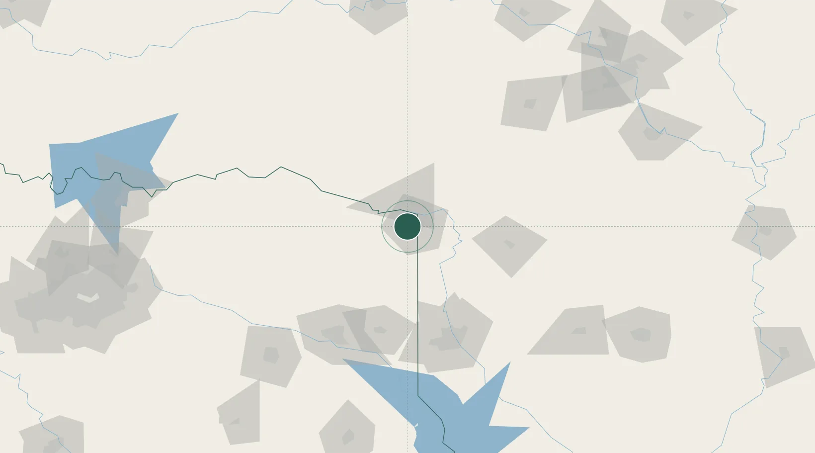
Hub Profile
Place type
Populated place
Region
Texas
Population
3,141
Time zone
America/Chicago
Elevation
107 m
Location
Nearby Logistics Neighbours
Cities
- 1Hooks14 km
- 2Panhandle, Cass33 km
- 3Queen City35 km
- 4Atlanta39 km
- 5De Kalb44 km
Ports
- 1Lake Charles369 km
- 2Beaumont374 km
- 3Orange376 km
- 4Port Neches384 km
- 5Port Arthur403 km
Airports
Trade Zones
- 1FTZ No. 258 Bowie County50 km
- 2FTZ No. 145 Shreveport111 km
- 3FTZ No. 146 Lawrence County111 km
- 4FTZ No. 234 Gregg County128 km
- 5FTZ No. 269 Athens215 km
DatabookThe Record of Consolidated Knowledge
United States beyond logistics?