Transport Functions
Road
Multimodal
Hub Profile
Place type
Populated place
Region
Arkansas
Time zone
America/Chicago
Elevation
91 m
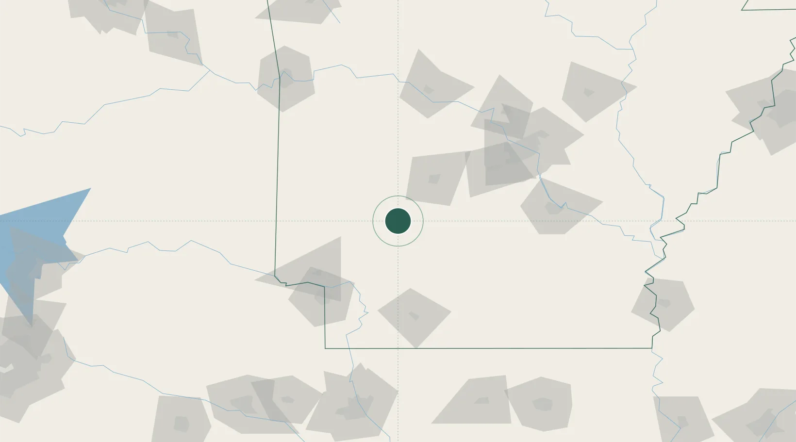
Location
Nearby Logistics Neighbours
Ports
- 1Port Of Memphis314 km
- 2Lake Charles436 km
- 3Orange451 km
- 4Beaumont455 km
- 5Baton Rouge460 km
Airports
Trade Zones
- 1FTZ No. 014 Little Rock128 km
- 2FTZ No. 258 Bowie County139 km
- 3FTZ No. 145 Shreveport193 km
- 4FTZ No. 146 Lawrence County193 km
- 5FTZ No. 234 Gregg County229 km
DatabookThe Record of Consolidated Knowledge
United States beyond logistics?