Transport Functions
Road
Multimodal
Hub Profile
Place type
Populated place
Region
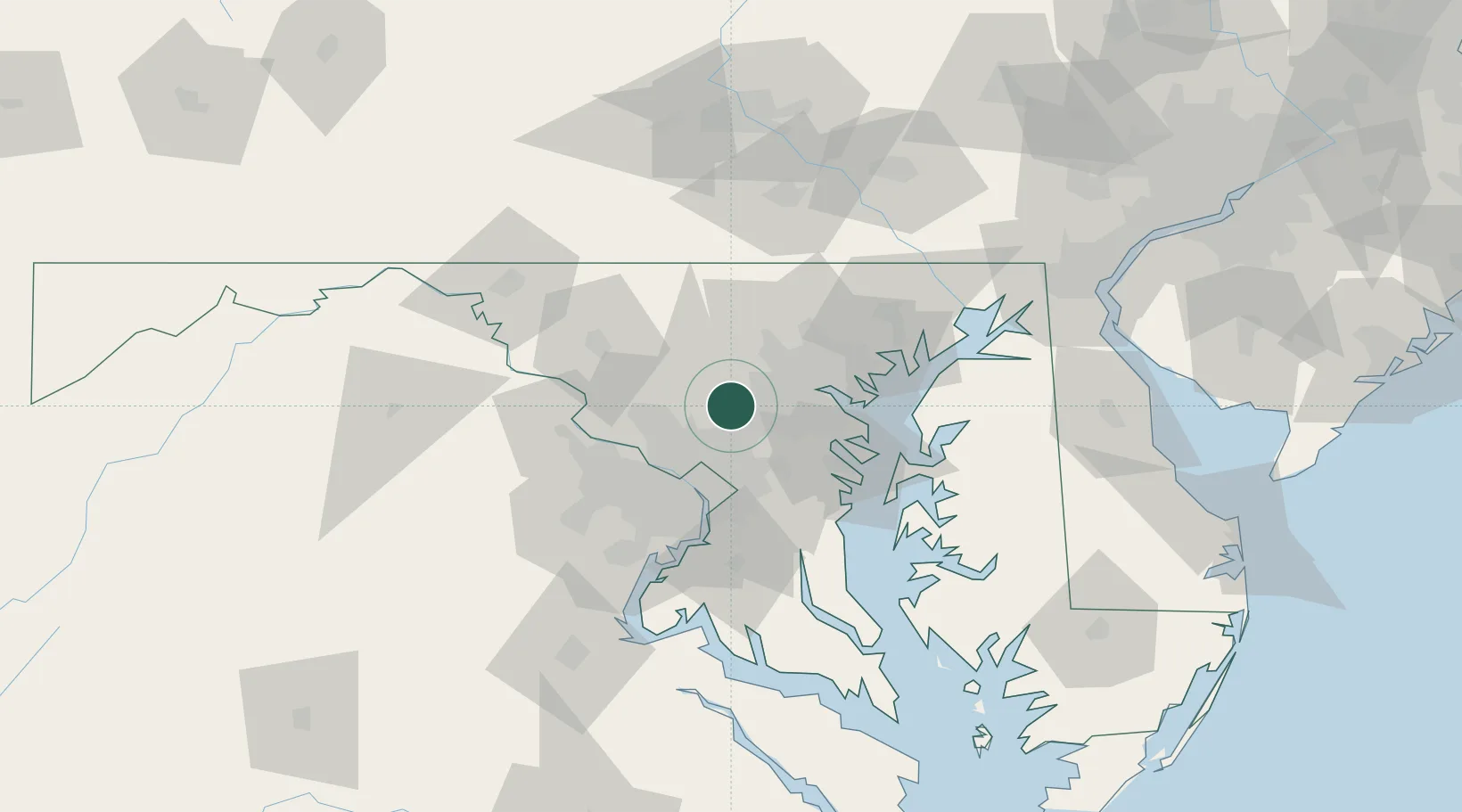
Maryland
Time zone
America/New_York
Elevation
147 m
Location
Nearby Logistics Neighbours
Cities
- 1West Friendship11 km
- 2Maryland City16 km
- 3Sykesville19 km
- 4Woodbine20 km
- 5Fort George G Meade20 km
Ports
- 1Baltimore31 km
- 2Washington D.C.38 km
- 3Alexandria45 km
- 4Annapolis46 km
- 5Havre De Grace82 km
Airports
Trade Zones
DatabookThe Record of Consolidated Knowledge
United States beyond logistics?