Transport Functions
Rail
Road
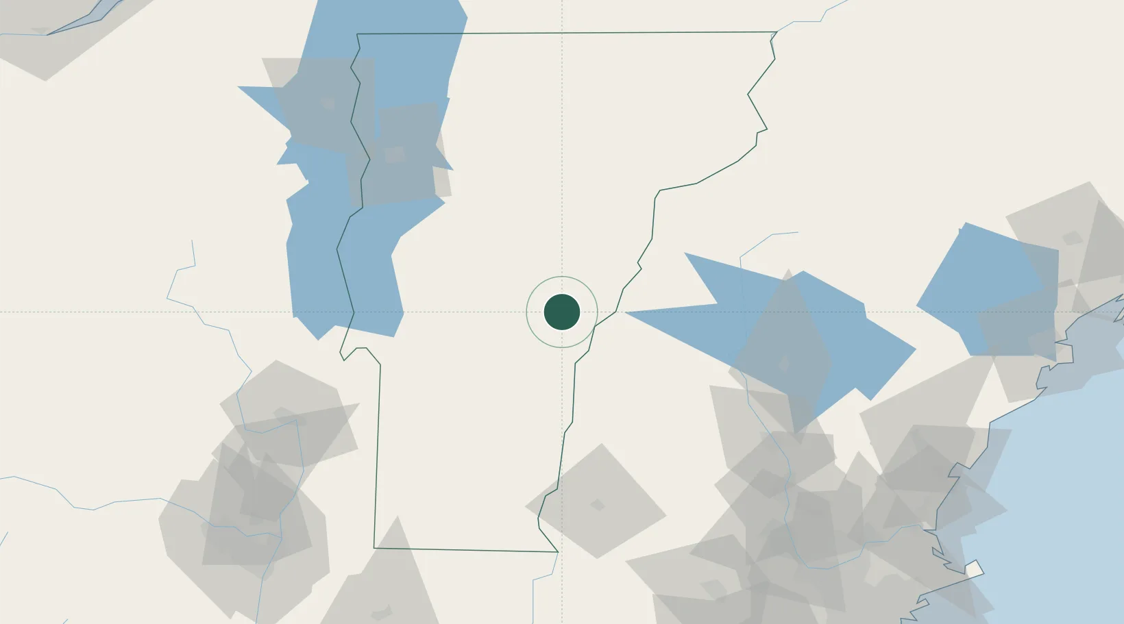
Hub Profile
Place type
Populated place
Region
Vermont
Time zone
America/New_York
Elevation
148 m
Location
Nearby Logistics Neighbours
Cities
- 1South Royalton7 km
- 2Norwich14 km
- 3Hanover16 km
- 4Wilder17 km
- 5Lebanon22 km
Ports
- 1Troy155 km
- 2Portsmouth158 km
- 3Saco164 km
- 4Albany164 km
- 5Rensselaer164 km
Airports
Trade Zones
- 1FTZ No. 268 Brattleboro103 km
- 2FTZ No. 081 Portsmouth153 km
- 3FTZ No. 121 Albany162 km
- 4FTZ No. 201 Holyoke175 km
- 5FTZ No. 263 Auburn183 km
DatabookThe Record of Consolidated Knowledge
United States beyond logistics?