UN/LOCODE hub · United States
USVPT
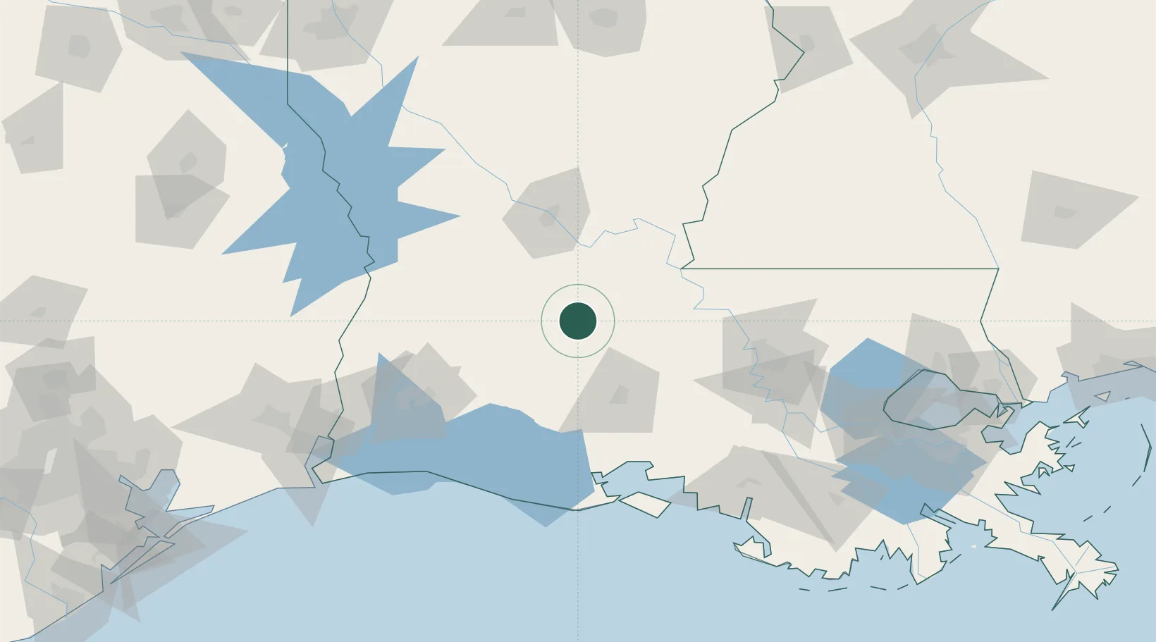
Ville Platte
30.6833°, -92.2833°
7,264
Population
2
Transport functions
Transport Functions
Rail
Road
Hub Profile
Place type
Provincial seat
Region
Louisiana
Population
7,264
Time zone
America/Chicago
Elevation
22 m
Location
Nearby Logistics Neighbours
Cities
- 1Le Moyen26 km
- 2Bunkie31 km
- 3Church Point33 km
- 4Palmetto, Saint Landry35 km
- 5Sunset36 km
Ports
- 1Lake Charles106 km
- 2Baton Rouge109 km
- 3Morgan City150 km
- 4Orange154 km
- 5Convent158 km
Airports
Trade Zones
- 1FTZ No. 154 Baton Rouge102 km
- 2FTZ No. 155 Calhoun Victoria Counties102 km
- 3FTZ No. 087 Lake Charles117 km
- 4FTZ No. 291 Cameron Parish157 km
- 5FTZ No. 117 Orange164 km
DatabookThe Record of Consolidated Knowledge
United States beyond logistics?