Transport Functions
Road
Multimodal
Hub Profile
Place type
Populated place
Region
Illinois
Time zone
America/Chicago
Elevation
227 m
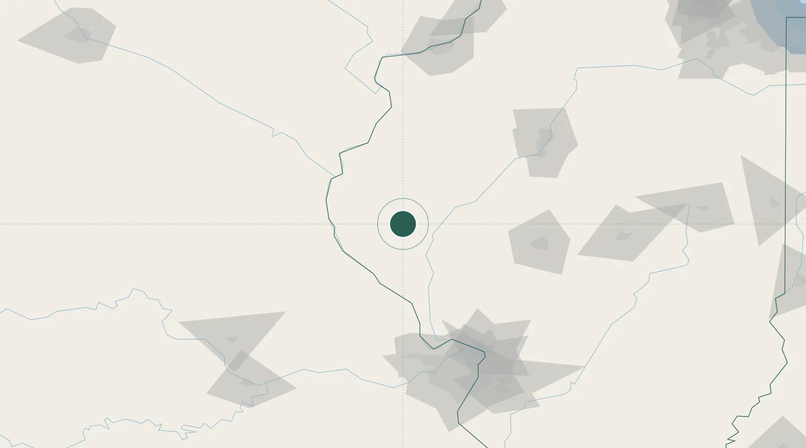
Location
Nearby Logistics Neighbours
Cities
- 1Mount Sterling7 km
- 2Columbus26 km
- 3Meredosia28 km
- 4Rushville31 km
- 5Barry35 km
Ports
- 1Calumet Harbor342 km
- 2Indiana Harbor344 km
- 3Chicago346 km
- 4Gary348 km
- 5Wilmette355 km
Airports
Trade Zones
- 1FTZ No. 055 Burlington96 km
- 2FTZ No. 114 Peoria134 km
- 3FTZ No. 031 Granite City147 km
- 4FTZ No. 102 St. Louis County148 km
- 5FTZ No. 245 Decatur153 km
DatabookThe Record of Consolidated Knowledge
United States beyond logistics?