UN/LOCODE hub · United States
USOIS
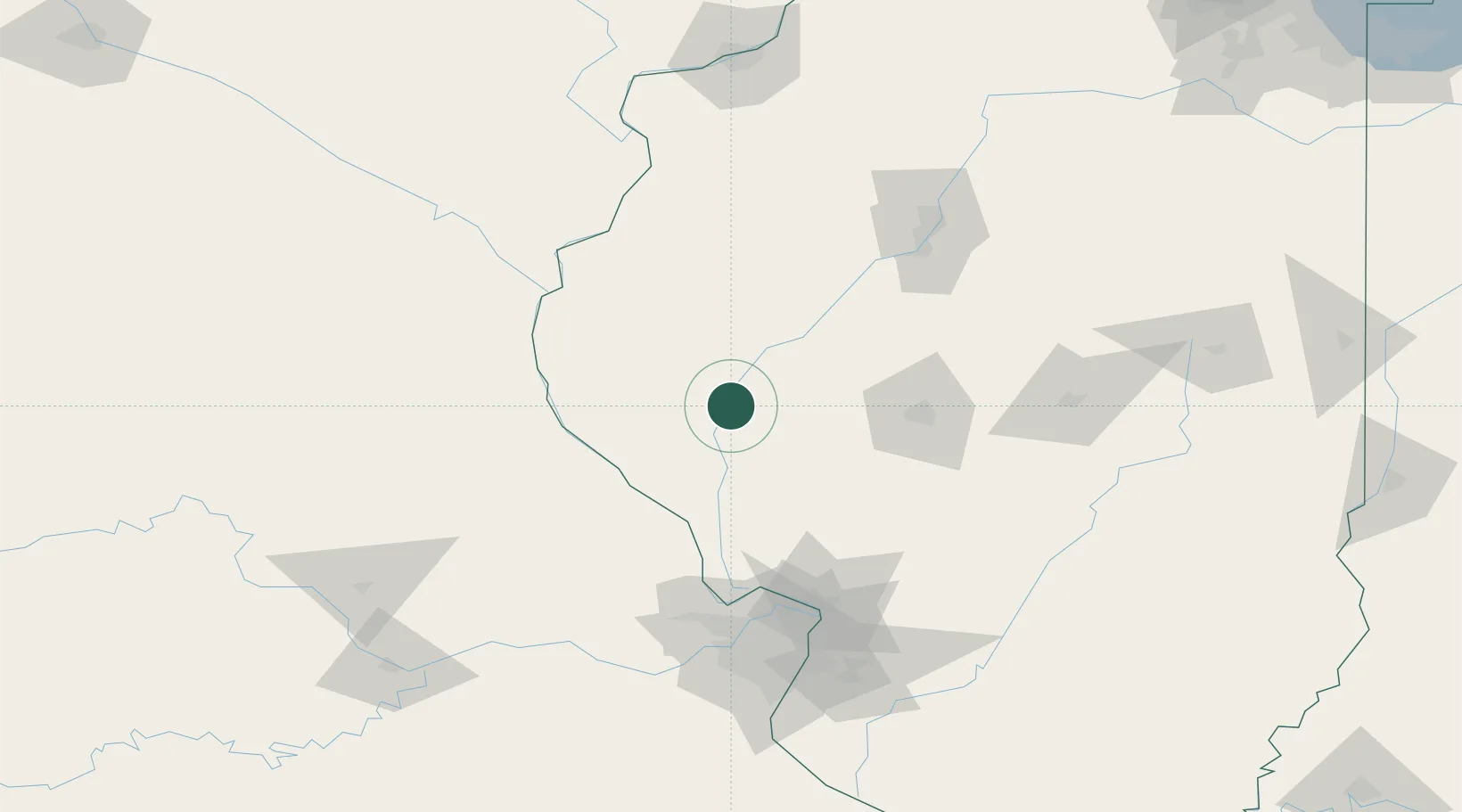
Meredosia
39.8333°, -90.5667°
1,018
Population
4
Transport functions
Transport Functions
Port
Rail
Road
Multimodal
Hub Profile
Place type
Populated place
Region
Illinois
Population
1,018
Time zone
America/Chicago
Elevation
135 m
Location
Nearby Logistics Neighbours
Cities
- 1Bluffs10 km
- 2Monette19 km
- 3Mount Sterling24 km
- 4Winchester26 km
- 5Fargo28 km
Ports
- 1Calumet Harbor333 km
- 2Indiana Harbor334 km
- 3Gary337 km
- 4Chicago338 km
- 5Wilmette348 km
Airports
Trade Zones
- 1FTZ No. 055 Burlington118 km
- 2FTZ No. 031 Granite City126 km
- 3FTZ No. 114 Peoria127 km
- 4FTZ No. 245 Decatur129 km
- 5FTZ No. 102 St. Louis County133 km
DatabookThe Record of Consolidated Knowledge
United States beyond logistics?