Transport Functions
Road
Multimodal
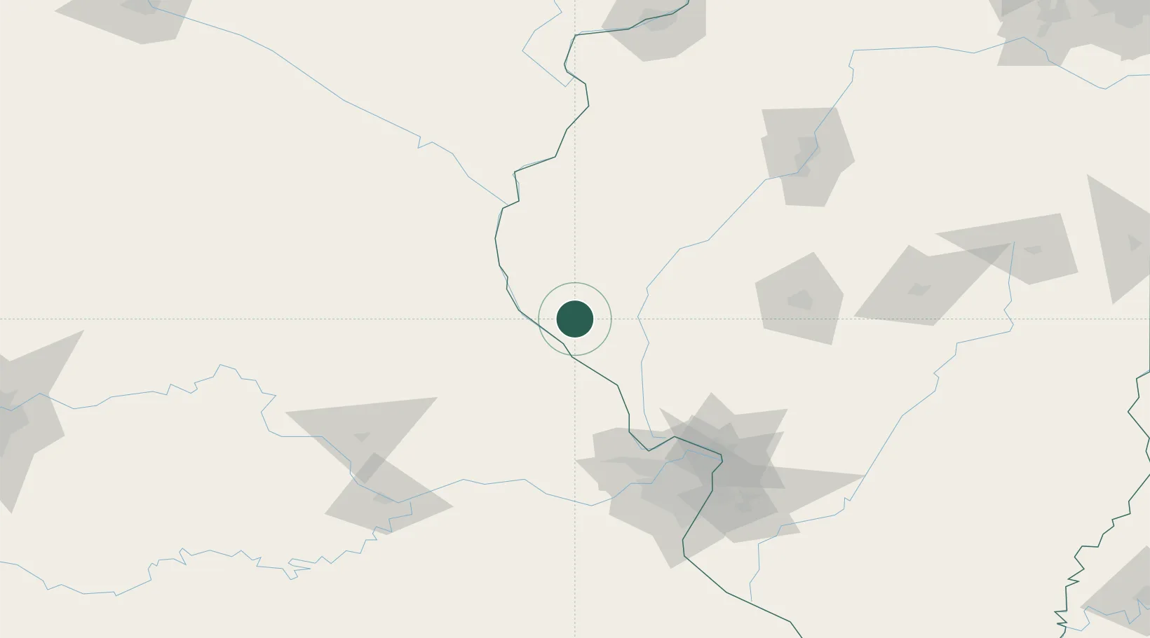
Hub Profile
Place type
Populated place
Region
Illinois
Population
1,274
Time zone
America/Chicago
Elevation
218 m
Location
Nearby Logistics Neighbours
Cities
- 1Rockport17 km
- 2Pittsfield22 km
- 3Marblehead33 km
- 4New London33 km
- 5Columbus35 km
Ports
- 1Calumet Harbor374 km
- 2Indiana Harbor375 km
- 3Chicago379 km
- 4Gary379 km
- 5Wilmette388 km
Airports
Trade Zones
- 1FTZ No. 102 St. Louis County119 km
- 2FTZ No. 055 Burlington126 km
- 3FTZ No. 031 Granite City127 km
- 4FTZ No. 114 Peoria167 km
- 5FTZ No. 245 Decatur170 km
DatabookThe Record of Consolidated Knowledge
United States beyond logistics?