Transport Functions
Multimodal
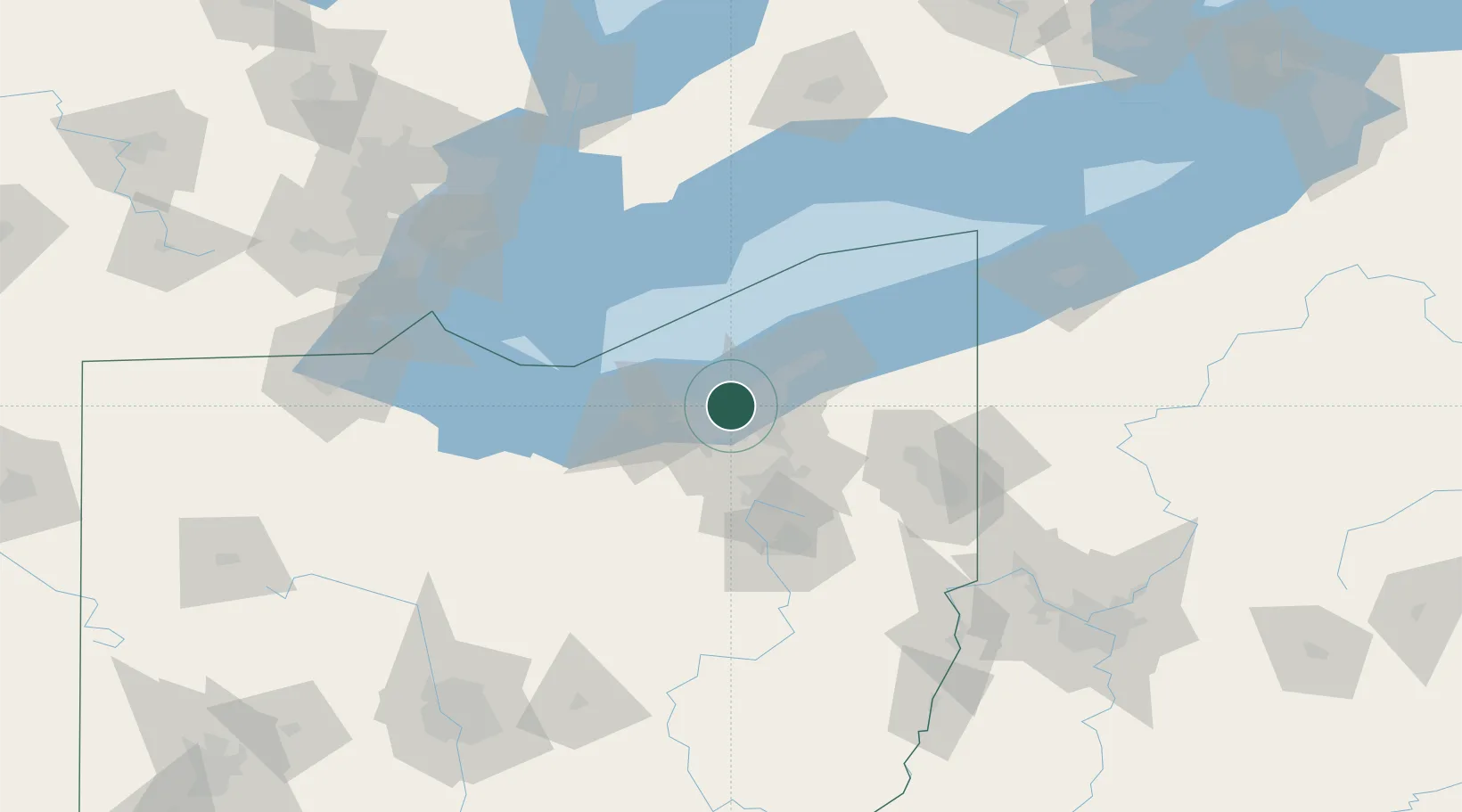
Hub Profile
Place type
Populated place
Region
Ohio
Time zone
America/New_York
Elevation
199 m
Location
Nearby Logistics Neighbours
Cities
- 1Cuyahoga Heights4 km
- 2Newburgh Heights5 km
- 3Cleveland7 km
- 4Rocky River11 km
- 5Cleveland Heights13 km
Airports
Trade Zones
- 1FTZ No. 040 Cleveland12 km
- 2FTZ No. 181 Akron Canton59 km
- 3Windsor - Essex Foreign Trade Zone144 km
- 4FTZ No. 247 Erie150 km
- 5FTZ No. 008 Toledo154 km
DatabookThe Record of Consolidated Knowledge
United States beyond logistics?