UN/LOCODE hub · United States
USCLE
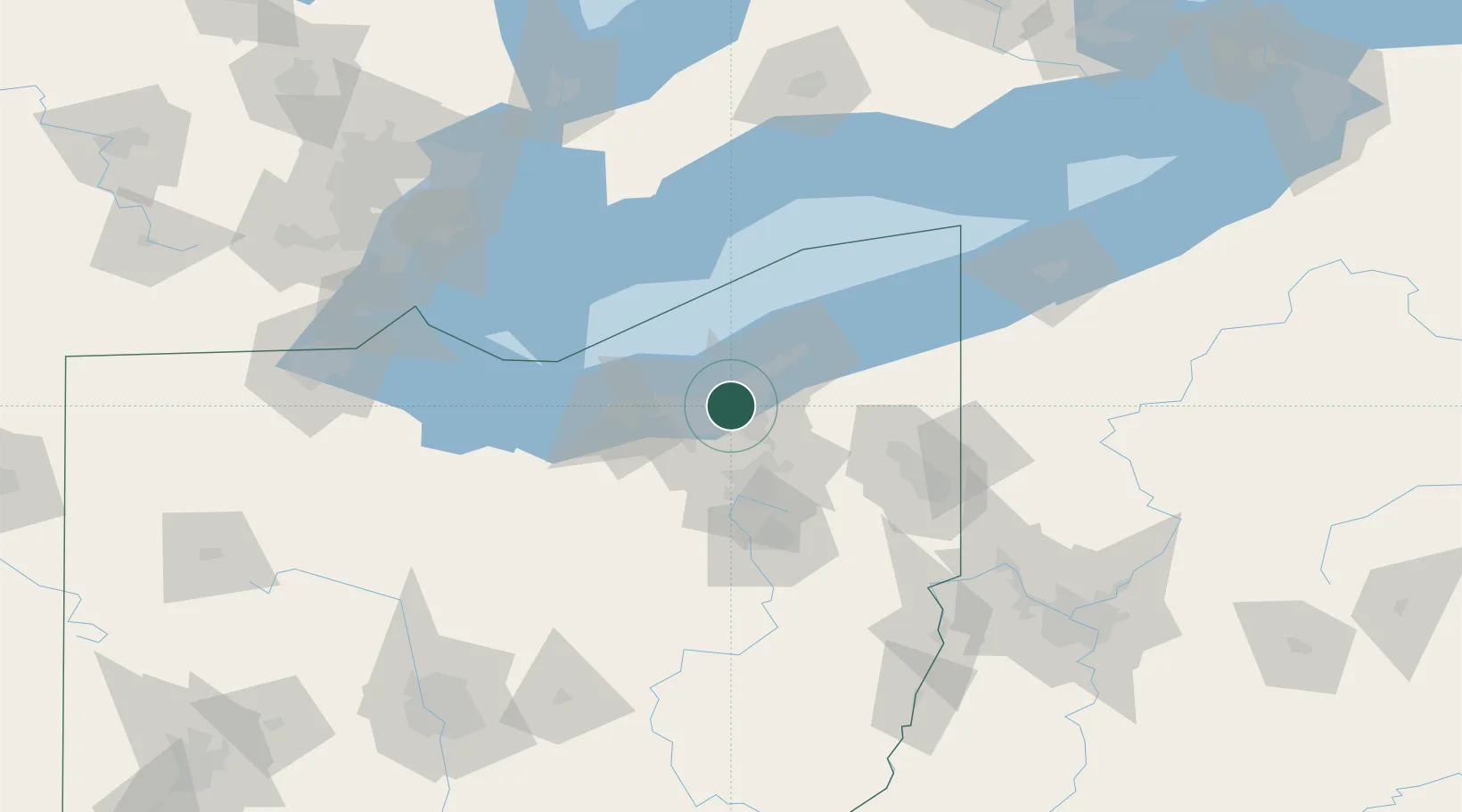
Cleveland
41.4599°, -81.6199°
365,379
Population
4
Transport functions
Transport Functions
Port
Rail
Road
Airport
Hub Profile
Place type
Provincial seat
Region
Ohio
Population
365,379
Time zone
America/New_York
Elevation
199 m
Logistics facilities
33
Location
Nearby Logistics Neighbours
Cities
- 1Newburgh Heights4 km
- 2Cuyahoga Heights5 km
- 3Ohio City7 km
- 4Shaker Heights7 km
- 5North Randall8 km
Airports
Trade Zones
- 1FTZ No. 040 Cleveland19 km
- 2FTZ No. 181 Akron Canton57 km
- 3FTZ No. 247 Erie145 km
- 4Windsor - Essex Foreign Trade Zone151 km
- 5FTZ No. 008 Toledo160 km
DatabookThe Record of Consolidated Knowledge
United States beyond logistics?